Loading...
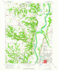
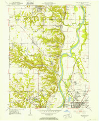
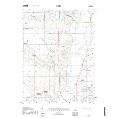
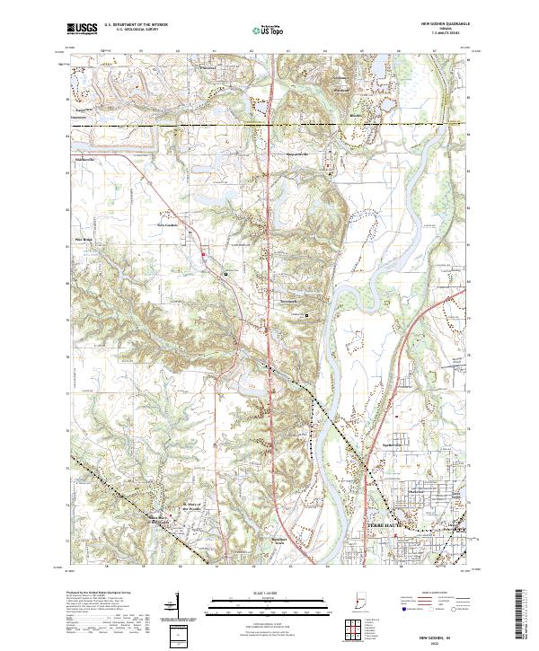
Loading map...1963 Map of New Goshen
USGS Topo · Published 1965About this map
St Mary-of-the-Woods College anchors the southwestern portion of this West Central Indiana landscape, a region defined by its transition from high upland prairies to the broad valley of the Wabash River. The 1963 survey reveals a complex network of industrial and transport history, where the path of the historic Erie Canal runs parallel to the river and the Chicago Milwaukee St Paul and Pacific railroad lines.
Find a feature on this map
88 named features on this map. Tap any name to fly to it.
Don’t see what you’re looking for? This feature index may not catch every label — zoom into the map to look around manually.
Map Details
Date Portrayed1963
Date Published1965
PublisherU.S. Geological Survey
Map TypeTopographic
Scale1:24,000
Physical Dimensions22.1 x 27 inches
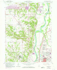
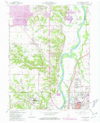
Editions of this 1963 New Goshen Map
4 editions found
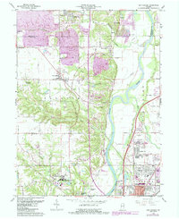
Historical Maps of Terre Haute Through Time
7 maps found
Featured Locations
Source Details
SourceU.S. Geological Survey
CopyrightPublic Domain