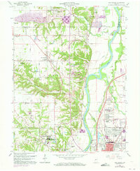
1963 Map of New Goshen
USGS Topo · Published 1973About this map
The Wabash River serves as the central artery of this West-Central Indiana landscape, where industrial infrastructure meets the quiet educational enclave of St Mary-of-the-Woods College. The mapping reflects a region defined by its rail-and-water heritage, notably featuring remnants of the Erie Canal alongside active lines of the Penn Central and Louisville and Nashville railroads. While the northern reaches show the mining legacy of the Clinton area with features like the Grant Mine Pond, the southern portion transitions into the northern suburbs of Terre Haute. Local history and genealogy are anchored by rural centers such as New Goshen and Shepardsville, and spiritual landmarks including Bethlehem Ch and Goshen Ch. The 1970s revisions highlight modern developments like the Sky King Airport and the Drag Strip near the banks of Otter Creek.
Find a feature on this map
87 named features on this map. Tap any name to fly to it.
Don’t see what you’re looking for? This feature index may not catch every label — zoom into the map to look around manually.
Map Details
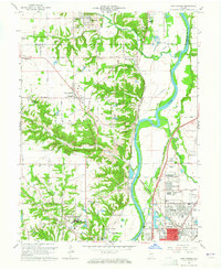
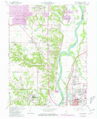
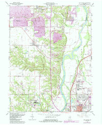
Editions of this 1963 New Goshen Map
4 editions found
Other maps of this area

1932 · Marshall
USGS Topo · 1:62,500

1937 · Marshall
USGS Topo · 1:62,500

1941 · Seelyville
USGS Topo · 1:24,000

1941 · Terre Haute
USGS Topo · 1:24,000

1942 · Dennison
USGS Topo · 1:24,000

1947 · Paris
USGS Topo · 1:62,500

1948 · Terre Haute
USGS Topo · 1:24,000

1949 · Paris
USGS Topo · 1:62,500

1950 · Rosedale
USGS Topo · 1:24,000

1950 · New Goshen
USGS Topo · 1:24,000