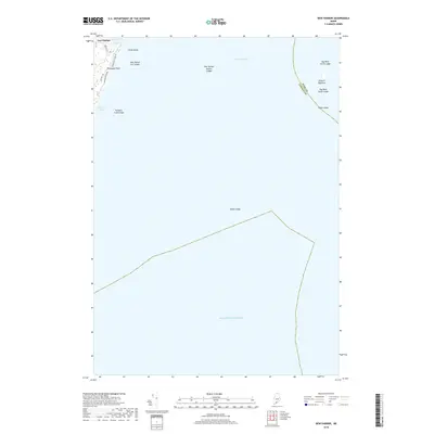
2018 Map of New Harbor
USGS Topo · Published 2018About this map
New Harbor serves as the primary coastal anchor for this maritime map of Bristol, Maine. The landscape is defined by the tight relationship between the sheltered waters of Back Cove and the village, reflecting a long tradition of coastal Maine settlement. This survey documents the localized geography of the shoreline, where the village is positioned to take advantage of protected inlets. The layout shows how the community integrates with the natural indentations of the coast, illustrating a classic New England fishing and boating hub through its roads and water access points.
Find a feature on this map
3 named features on this map. Tap any name to fly to it.
Don’t see what you’re looking for? This feature index may not catch every label — zoom into the map to look around manually.
Map Details
Editions of this 2018 New Harbor Map
This is the sole edition of this map. No revisions or reprints were ever made.
Other maps of this area

1893 · Boothbay
USGS Topo · 1:62,500

1904 · Monhegan
USGS Topo · 1:62,500

1906 · Monhegan
USGS Topo · 1:62,500

1941 · Boothbay
USGS Topo · 1:62,500

1943 · Boothbay
USGS Topo · 1:62,500

1944 · Boothbay
USGS Topo · 1:62,500

1948 · Bath
USGS Topo · 1:250,000
1955 · New Harbor
USGS Topo · 1:24,000
1955 · Louds Island
USGS Topo · 1:24,000
1955 · Monhegan
USGS Topo · 1:24,000