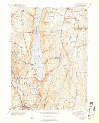
1951 Map of New Hartford
USGS Topo · Published 1951About this map
Barkhamsted Reservoir dominates the center of this Litchfield and Hartford County landscape, held in check by the Saville Dam. The reservoir marks a transformed valley where the East Branch of the Farmington River once flowed freely, now surrounded by the protected woodlands of Peoples State Forest and Tunxis State Forest. Small settlements and family enclaves are scattered throughout the hills, including Barkhamsted Center, East Hartland, and Pleasant Valley. Genealogists will find several historic burial grounds preserved near these communities, such as Barkhamsted Cem and the North Canton Cem. The topography is defined by significant rises like Pine Mtn and Ratlum Mountain, while the southern reaches of the map show the concentrated development of New Hartford and Pine Meadow along the river banks.
Find a feature on this map
51 named features on this map. Tap any name to fly to it.
Don’t see what you’re looking for? This feature index may not catch every label — zoom into the map to look around manually.
Map Details
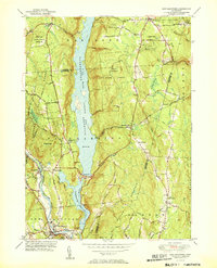
Editions of this 1951 New Hartford Map
2 editions found
Other maps of this area

1887 · Granville
USGS Topo · 1:62,500

1888 · Sandisfield
USGS Topo · 1:62,500

1889 · Granville
USGS Topo · 1:62,500

1892 · Winsted
USGS Topo · 1:62,500

1892 · Granby
USGS Topo · 1:62,500

1893 · Granville
USGS Topo · 1:62,500

1893 · Sandisfield
USGS Topo · 1:62,500

1895 · Granville
USGS Topo · 1:62,500

1896 · Holyoke
USGS Topo · 1:125,000

1897 · Sandisfield
USGS Topo · 1:62,500