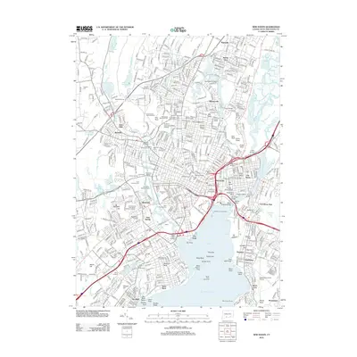
2012 Map of New Haven
USGS Topo · Published 2012About this map
The coastal and urban geography of South Central Connecticut unfolds across this survey, centered on the historic harbor and the educational core of Yale University. The landscape is defined by its dramatic geologic traps, most notably the high ridge of West Rock, which is pierced by the West Rock Tunnel. From the suburban reaches of Spring Glen and Whitneyville in the north to the busy harbor at City Point, the map documents a densely settled corridor where industrial history and institutional growth meet the shoreline.
Find a feature on this map
479 named features on this map. Tap any name to fly to it.
Don’t see what you’re looking for? This feature index may not catch every label — zoom into the map to look around manually.
Map Details
Editions of this 2012 New Haven Map
This is the sole edition of this map. No revisions or reprints were ever made.
Other maps of this area

1889 · Derby
USGS Topo · 1:62,500

1891 · Bridgeport
USGS Topo · 1:62,500

1891 · Derby
USGS Topo · 1:62,500

1892 · New Haven
USGS Topo · 1:62,500

1893 · Bridgeport
USGS Topo · 1:62,500

1893 · Derby
USGS Topo · 1:62,500

1920 · Bridgeport
USGS Topo · 1:62,500

1921 · New Haven
USGS Topo · 1:62,500

1943 · New Haven
USGS Topo · 1:31,680

1943 · Naugatuck
USGS Topo · 1:31,680