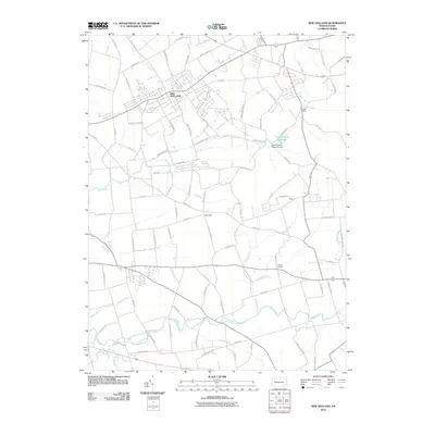
2010 Map of New Holland
USGS Topo · Published 2010About this map
New Holland serves as the central hub of this East Earl Township landscape, characterized by a dense network of country roads and winding watercourses. The map captures the agricultural and residential transition of the early 21st century, where historic naming conventions persist in routes like Amishtown Rd and Reidenbach Rd. The terrain is defined by low-lying drainages including Pequea Creek and Mill Creek, while Dry Hill provides a distinct topographical rise in the center of the quadrangle.
Find a feature on this map
87 named features on this map. Tap any name to fly to it.
Don’t see what you’re looking for? This feature index may not catch every label — zoom into the map to look around manually.
Map Details
Editions of this 2010 New Holland Map
This is the sole edition of this map. No revisions or reprints were ever made.
Other maps of this area

1904 · Coatesville
USGS Topo · 1:62,500

1905 · Honey Brook
USGS Topo · 1:62,500

1906 · Coatesville
USGS Topo · 1:62,500

1906 · New Holland
USGS Topo · 1:62,500

1907 · Honeybrook
USGS Topo · 1:62,500

1908 · New Holland
USGS Topo · 1:62,500

1912 · Quarryville
USGS Topo · 1:62,500

1918 · Coatesville
USGS Topo · 1:62,500

1941 · Honeybrook
USGS Topo · 1:62,500

1941 · New Holland
USGS Topo · 1:62,500
Featured Places
- East Earl Township, PA
- New Holland, PA
- Paradise Township, PA
- Blue Ball, East Earl Township
- Upper Leacock Township, PA