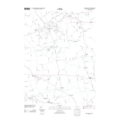
2013 Map of New Holland
USGS Topo · Published 2013About this map
New Holland serves as the central hub of this eastern Lancaster County landscape, where the dense street grid around W Broad St transitions into the expansive agricultural tracts of Pennsylvania Dutch country. The map documents a complex network of small settlements and named crossroads, including the famously named Intercourse, Blue Ball, and East Earl. Family and community history is anchored by longstanding institutions such as Zeltenreich Ch and its associated Zeltenreich Cem, alongside the Rancks Ch and Hershey Ch. To the south, the terrain descends toward Pequea Cr, passing through smaller hamlets like Hatville, New Milltown, and Harristown. Industrial and agricultural continuity is evident at the Oberholtzer Dairy Farm and the rail-oriented Vintage Station, while the New Holland Reservoir and waterways like Mill Cr and Groff Run define the local drainage patterns.
Find a feature on this map
224 named features on this map. Tap any name to fly to it.
Don’t see what you’re looking for? This feature index may not catch every label — zoom into the map to look around manually.
Map Details
Editions of this 2013 New Holland Map
This is the sole edition of this map. No revisions or reprints were ever made.
Other maps of this area

1904 · Coatesville
USGS Topo · 1:62,500

1905 · Honey Brook
USGS Topo · 1:62,500

1906 · Coatesville
USGS Topo · 1:62,500

1906 · New Holland
USGS Topo · 1:62,500

1907 · Honeybrook
USGS Topo · 1:62,500

1908 · New Holland
USGS Topo · 1:62,500

1912 · Quarryville
USGS Topo · 1:62,500

1918 · Coatesville
USGS Topo · 1:62,500

1941 · Honeybrook
USGS Topo · 1:62,500

1941 · New Holland
USGS Topo · 1:62,500
Featured Places
- East Earl Township, PA
- New Holland, PA
- Paradise Township, PA
- Blue Ball, East Earl Township
- Upper Leacock Township, PA