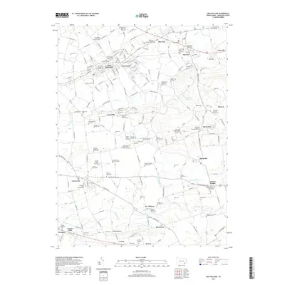
2019 Map of New Holland
USGS Topo · Published 2019About this map
New Holland and its surrounding townships exemplify the enduring agricultural and religious character of Lancaster County. This modern survey illustrates a landscape deeply connected to its heritage, where dozens of family graveyards and denominational burial grounds—such as the Joseph Rutter and Barbara Glenn Family Graveyard and New Holland Old Order Mennonite Cem—are preserved alongside active settlements. The terrain transitions from the low-lying Muddy Run and Mill Creek valleys to the rising elevations of Laurel Hill and Welsh Mtn.
Find a feature on this map
146 named features on this map. Tap any name to fly to it.
Don’t see what you’re looking for? This feature index may not catch every label — zoom into the map to look around manually.
Map Details
Editions of this 2019 New Holland Map
This is the sole edition of this map. No revisions or reprints were ever made.
Other maps of this area

1904 · Coatesville
USGS Topo · 1:62,500

1905 · Honey Brook
USGS Topo · 1:62,500

1906 · Coatesville
USGS Topo · 1:62,500

1906 · New Holland
USGS Topo · 1:62,500

1907 · Honeybrook
USGS Topo · 1:62,500

1908 · New Holland
USGS Topo · 1:62,500

1912 · Quarryville
USGS Topo · 1:62,500

1918 · Coatesville
USGS Topo · 1:62,500

1941 · Honeybrook
USGS Topo · 1:62,500

1941 · New Holland
USGS Topo · 1:62,500
Featured Places
- East Earl Township, PA
- New Holland, PA
- Paradise Township, PA
- Blue Ball, East Earl Township
- Upper Leacock Township, PA