2023 Map of New Holland
USGS Topo · Published 2023About this map
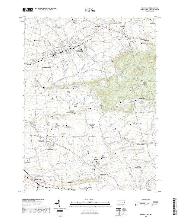
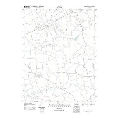
New Holland serves as the focal point of this Lancaster County landscape, where the dense concentration of religious and family burial grounds reflects a deep-rooted heritage of Anabaptist and Reformed traditions. The map detail highlights an intricate network of rural roads connecting established communities like Blue Ball, Intercourse, and Paradise. The terrain transitions from the lowlands of Mill Creek and Pequea Creek toward the prominent rise of Welsh Mtn to the east. Numerous small family graveyards and church-affiliated cemeteries, such as the Pequea Old Order Mennonite Cem and Hershey Old Mennonite Cem, are situated along the secondary routes, providing essential markers for genealogical research. The presence of the New Holland Reservoir and various runs like Shirk's Run and Groff Run illustrate the drainage patterns that have historically supported the area's agricultural productivity and early settlement placement.
Find a feature on this map
160 named features on this map. Tap any name to fly to it.
Don’t see what you’re looking for? This feature index may not catch every label — zoom into the map to look around manually.
Map Details
Editions of this 2023 New Holland Map
This is the sole edition of this map. No revisions or reprints were ever made.
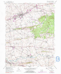
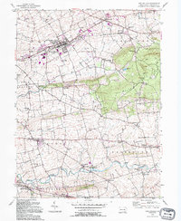
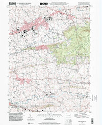
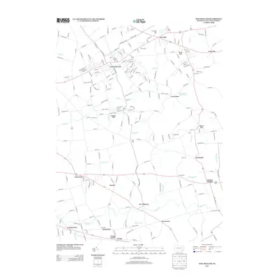
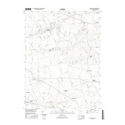
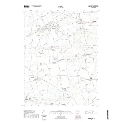
Historical Maps of East Earl Township Through Time
11 maps found

1906 New Holland
Lancaster County, PA

1908 New Holland
Lancaster County, PA

1941 New Holland
Lancaster County, PA
1956 New Holland
Lancaster County, PA
1992 New Holland
Lancaster County, PA
1999 New Holland
Lancaster County, PA
2010 New Holland
Lancaster County, PA
2013 New Holland
Lancaster County, PA
2016 New Holland
Lancaster County, PA
2019 New Holland
Lancaster County, PA
2023 New Holland
Lancaster County, PA
Featured Locations
- Upper Leacock Township, PA
- New Holland, PA
- Paradise Township, PA
- East Earl Township, PA
- Blue Ball, East Earl Township