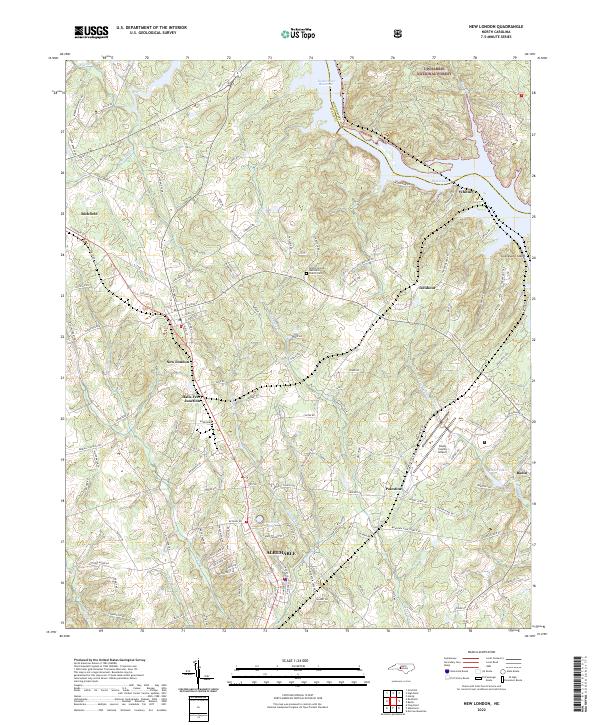
2022 Map of New London
USGS Topo · Published 2022About this map
New London and Richfield serve as primary northern anchors for this portion of Stanly County, where the landscape transitions from the urban edge of Albemarle into the dense woodlands of the Uwharrie National Forest. The eastern border is defined by the significant reach of Badin Lake and the Tuckertown Reservoir, with Graveyard Island sitting prominently within the waterway. This area's heritage is tied to the movement of goods and people, visible in the path of the Winston-Salem Southbound railroad and the proximity of the Stanly County Airport. Historical rural points such as Halls Ferry Junction and Palestine remain noted alongside several family-named roads. The Bethel (United Methodist Church) Cem offers a specific point of interest for genealogists tracing families in the central corridor between the Yadkin River reservoirs and the county seat.
Find a feature on this map
137 named features on this map. Tap any name to fly to it.
Don’t see what you’re looking for? This feature index may not catch every label — zoom into the map to look around manually.
Map Details
Editions of this 2022 New London Map
This is the sole edition of this map. No revisions or reprints were ever made.
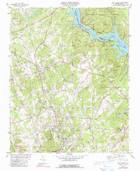
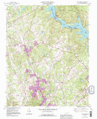
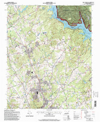
Historical Maps of Palestine Through Time
4 maps found