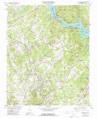
1980 Map of New London
USGS Topo · Published 1990About this map
New London and Palestine anchor this Stanly County landscape, defined by the heavy infrastructure of the Yadkin River corridor. The Tuckertown Dam and its associated powerplant at the foot of Tuckertown Reservoir mark the industrial transition into Badin Lake, where the Montgomery and Stanly county line follows the river's center. This era shows a complex transport network where the Norfolk Southern and Winston-Salem Southbound railroads intersect, facilitating local industry such as the Clay Pits south of Isenhour. Beyond the riverbanks, the terrain rises into the Uwharrie National Forest, interspersed with local landmarks like North Stanly High Sch and a collection of rural churches including Parkers Grove Ch and Bethel Ch, serving as important identifiers for family history research in this part of the Piedmont.
Find a feature on this map
44 named features on this map. Tap any name to fly to it.
Don’t see what you’re looking for? This feature index may not catch every label — zoom into the map to look around manually.
Map Details
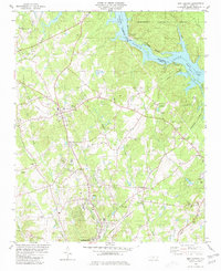
Editions of this 1980 New London Map
2 editions found
Other maps of this area

1949 · High Rock
USGS Topo · 1:24,000

1953 · Charlotte
USGS Topo · 1:250,000

1954 · Charlotte
USGS Topo · 1:250,000

1957 · Mount Pleasant
USGS Topo · 1:62,500

1957 · Albemarle
USGS Topo · 1:62,500

1957 · Denton
USGS Topo · 1:62,500

1960 · Charlotte
USGS Topo · 1:250,000

1962 · Charlotte
USGS Topo · 1:250,000
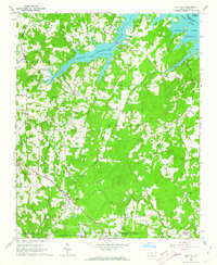
1962 · Gold Hill
USGS Topo · 1:24,000
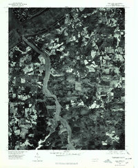
1977 · High Rock
USGS Topo · 1:24,000