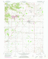
1956 Map of New Market
USGS Topo · Published 1980About this map
New Market serves as a central hub in this mid-century Indiana landscape, where the agricultural character is defined by a dense network of country cemeteries and small rural settlements. The topography is marked by several significant waterways, including the winding Sugar Creek and Rattlesnake Creek to the north, which contrast with the engineered profile of Lake Holiday. Revision data from the late 1970s highlights modern additions such as the Grain Bins at the edge of the village, illustrating the evolving grain-handling infrastructure that supports the surrounding farmsteads. Genealogists will find a wealth of family-named landmarks, such as Weir Cem, Galey Cem, and Wasson Cem, peppered across the townships of Ripley, Union, and Brown. To the northeast, the Crawfordsville Municipal Airport indicates the regional expansion of transportation beyond the traditional road and rail corridors.
Find a feature on this map
30 named features on this map. Tap any name to fly to it.
Don’t see what you’re looking for? This feature index may not catch every label — zoom into the map to look around manually.
Map Details
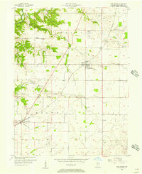
Editions of this 1956 New Market Map
Other maps of this area

1949 · Alamo
USGS Topo · 1:24,000

1953 · Danville
USGS Topo · 1:250,000

1953 · Indianapolis
USGS Topo · 1:250,000

1955 · Danville
USGS Topo · 1:250,000

1955 · Russellville
USGS Topo · 1:24,000

1956 · Danville
USGS Topo · 1:250,000

1956 · Indianapolis
USGS Topo · 1:250,000

1956 · Crawfordsville
USGS Topo · 1:24,000

1956 · New Market
USGS Topo · 1:24,000

1957 · Indianapolis
USGS Topo · 1:250,000