
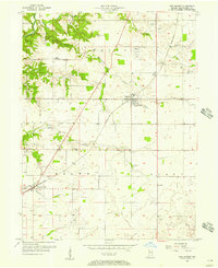
1956 Map of New Market
USGS Topo · Published 1957About this map
The Pennsylvania railroad corridor defines the development of southern Montgomery County, connecting the settlements of New Market, North Union, Lapland, and Browns Valley. This 1956 survey reflects a landscape deeply tied to its agrarian roots and community heritage, evidenced by the high density of family and congregational burial grounds such as Old Pottinger Cem, Indian Creek Hill Cem, and Finley Chapel Cem. Agricultural infrastructure is prominent near the village centers, particularly the Grain Bins located along the rail line in New Market.
Find a feature on this map
32 named features on this map. Tap any name to fly to it.
Don’t see what you’re looking for? This feature index may not catch every label — zoom into the map to look around manually.
Map Details
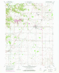
Editions of this 1956 New Market Map
Other maps of this area

1949 · Alamo
USGS Topo · 1:24,000

1953 · Danville
USGS Topo · 1:250,000

1953 · Indianapolis
USGS Topo · 1:250,000

1955 · Danville
USGS Topo · 1:250,000

1955 · Russellville
USGS Topo · 1:24,000

1956 · Danville
USGS Topo · 1:250,000

1956 · Indianapolis
USGS Topo · 1:250,000

1956 · Crawfordsville
USGS Topo · 1:24,000

1957 · Indianapolis
USGS Topo · 1:250,000

1958 · Darlington
USGS Topo · 1:24,000