Loading...
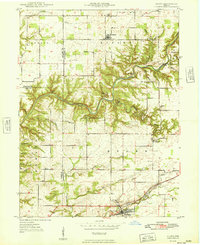
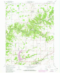
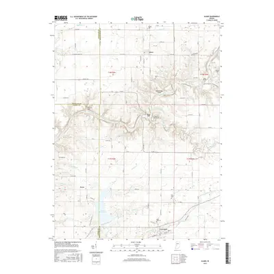
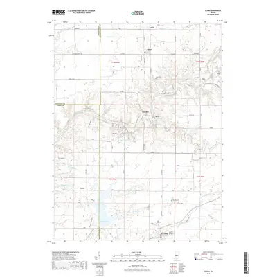
Loading map...1949 Map of Alamo
USGS Topo · Published 1949About this map
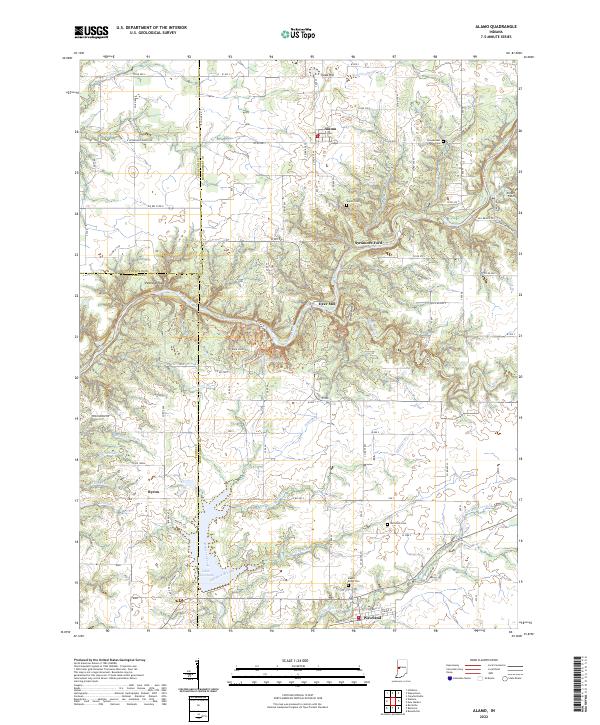
Sugar Creek carves a dramatic path through this central Indiana landscape, anchored by the protected acreage of Shades Park. This 1940s survey reveals a deeply incised river valley characterized by landmarks like Devils Backbone and Pedestal Rock. Along the water, the transition from industrial past to recreational present is visible at Deer Mill and Cold Spring Camp.
Find a feature on this map
42 named features on this map. Tap any name to fly to it.
Don’t see what you’re looking for? This feature index may not catch every label — zoom into the map to look around manually.
Map Details
Date Portrayed1949
Date Published1949
PublisherU.S. Geological Survey
Map TypeTopographic
Scale1:24,000
Physical Dimensions22 x 27 inches
Editions of this 1949 Alamo Map
This is the sole edition of this map. No revisions or reprints were ever made.
Historical Maps of Waveland Through Time
7 maps found
Featured Locations
Source Details
SourceU.S. Geological Survey
CopyrightPublic Domain