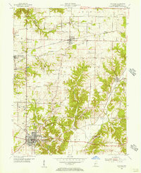
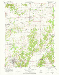
1955 Map of Rockville
USGS Topo · Published 1956About this map
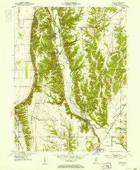
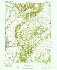
Rockville serves as the primary hub in this mid-century survey of Parke County, showcasing a landscape defined by its small towns and the steady movement of the Baltimore and Ohio and Pennsylvania railroads. The town's grid is clearly delineated, extending toward the Memory Garden Cem and the 4-H Club Fairgrounds, while a Drive-in Theater reflects the car-centered culture of the 1950s. To the southeast, the expansive grounds of the State Sanatorium occupy a significant tract near Little Raccoon Creek.
Find a feature on this map
33 named features on this map. Tap any name to fly to it.
Don’t see what you’re looking for? This feature index may not catch every label — zoom into the map to look around manually.
Map Details
Editions of this 1955 Rockville Map
2 editions found
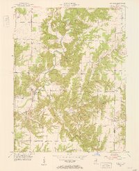
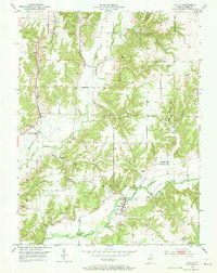
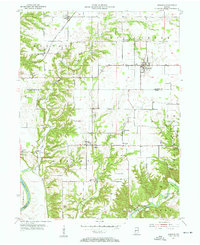
Other maps of this area
1948 · Wallace
USGS Topo · 1:24,000
1949 · Alamo
USGS Topo · 1:24,000
1951 · Mecca
USGS Topo · 1:24,000
1951 · Mansfield
USGS Topo · 1:24,000
1952 · Catlin
USGS Topo · 1:24,000

1953 · Indianapolis
USGS Topo · 1:250,000
1955 · Kingman
USGS Topo · 1:24,000
1955 · Montezuma
USGS Topo · 1:24,000

1956 · Indianapolis
USGS Topo · 1:250,000

1957 · Indianapolis
USGS Topo · 1:250,000