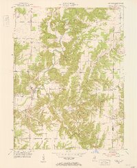
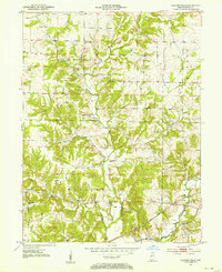
1951 Map of Mansfield
USGS Topo · Published 1953About this map
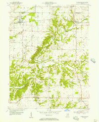
Raccoon Creek meanders through the heart of this Indiana landscape, where the town of Mansfield serves as a primary hub for the surrounding rural townships of Union and Jackson. The 1951 topography reveals a landscape deeply incised by water, with a dense network of tributaries including Rocky Fork and Little Rocky Fork carving through the terrain. A notable geological feature, Groundhog Falls, is tucked away along a branch of the Rocky Fork, highlighting the area's natural drainage patterns before modern land alterations.
Find a feature on this map
29 named features on this map. Tap any name to fly to it.
Don’t see what you’re looking for? This feature index may not catch every label — zoom into the map to look around manually.
Map Details
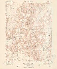
Editions of this 1951 Mansfield Map
2 editions found
Other maps of this area
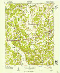
1950 · Brazil East
USGS Topo · 1:24,000
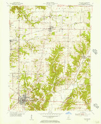
1950 · Brazil West
USGS Topo · 1:24,000
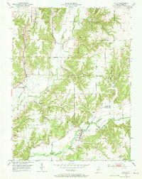
1951 · Clinton Falls
USGS Topo · 1:24,000
1952 · Catlin
USGS Topo · 1:24,000
1952 · Reelsville
USGS Topo · 1:24,000

1953 · Indianapolis
USGS Topo · 1:250,000
1955 · Rockville
USGS Topo · 1:24,000
1955 · Russellville
USGS Topo · 1:24,000

1956 · Indianapolis
USGS Topo · 1:250,000

1957 · Indianapolis
USGS Topo · 1:250,000