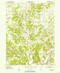
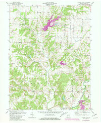
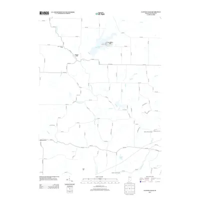
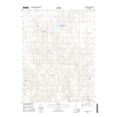
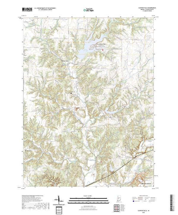
1951 Map of Clinton Falls
USGS Topo · Published 1953About this map
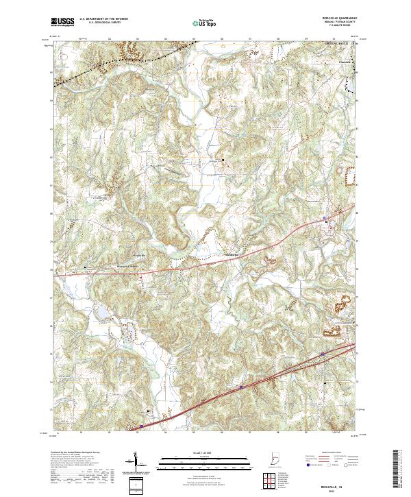
Clinton Falls and the rural community of Brunerstown anchor this mid-century look at western Putnam County. The landscape is defined by the winding course of Little Walnut Creek and its many tributaries, including Leatherman Creek and Jones Creek. This era reveals a dense network of local institutions essential to rural life, from educational landmarks like School No 10 and Clinton Center Sch to spiritual centers such as Little Walnut Ch and Pleasant Hill Ch.
Find a feature on this map
35 named features on this map. Tap any name to fly to it.
Don’t see what you’re looking for? This feature index may not catch every label — zoom into the map to look around manually.
Map Details
Editions of this 1951 Clinton Falls Map
This is the sole edition of this map. No revisions or reprints were ever made.
Historical Maps of Greencastle Through Time
21 maps found
1951 Clinton Falls
Putnam County, IN
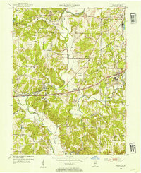
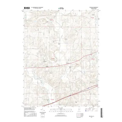
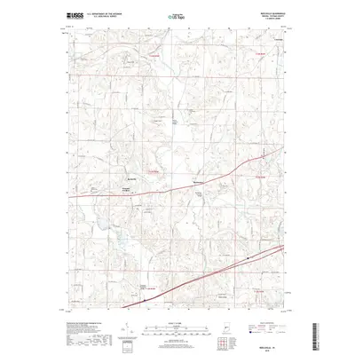
1952 Reelsville
Putnam County, IN
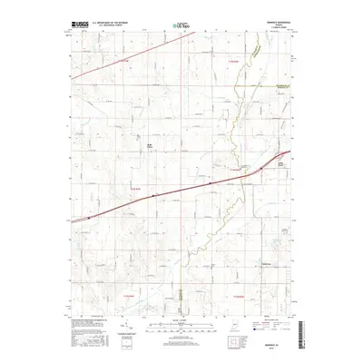
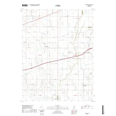
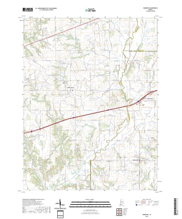
1956 Eminence
Putnam County, IN
1970 Eminence
Putnam County, IN
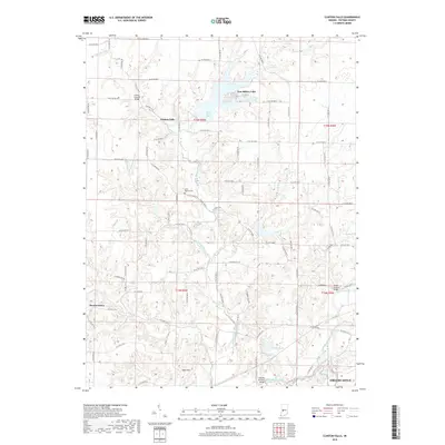
1971 Clinton Falls
Putnam County, IN
1971 Reelsville
Putnam County, IN
2010 Clinton Falls
Putnam County, IN
2010 Eminence
Putnam County, IN
2010 Reelsville
Putnam County, IN
2013 Clinton Falls
Putnam County, IN
2013 Eminence
Putnam County, IN
2013 Reelsville
Putnam County, IN
2016 Clinton Falls
Putnam County, IN
2016 Eminence
Putnam County, IN
2016 Reelsville
Putnam County, IN
2019 Clinton Falls
Putnam County, IN
2019 Eminence
Putnam County, IN
2019 Reelsville
Putnam County, IN
2022 Clinton Falls
Putnam County, IN
2022 Eminence
Putnam County, IN
2022 Reelsville
Putnam County, IN