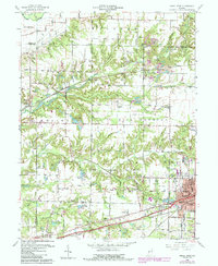
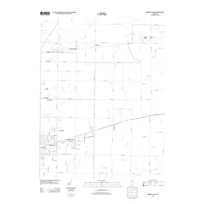
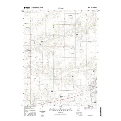
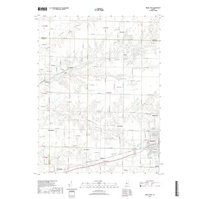
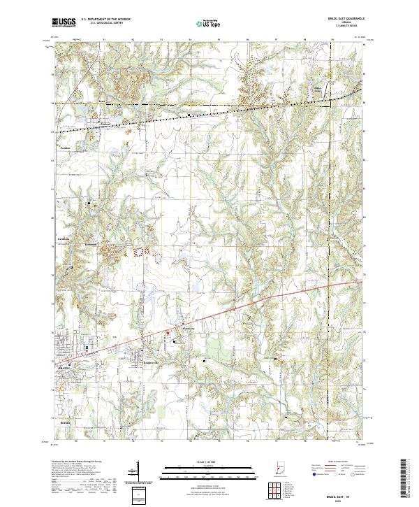
1950 Map of Brazil East
USGS Topo · Published 1952About this map
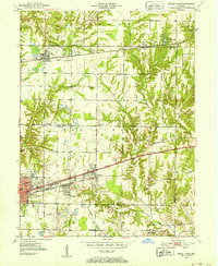
Strip Mines dominate the topography of this Clay County region at the start of the 1950s, illustrating the heavy industrial footprint of coal extraction on the Indiana landscape. The city of Brazil serves as the primary hub, with the National Road and the Pennsylvania and New York Central railroads creating a dense corridor of transportation and commerce through Harmony and Knightsville. This infrastructure supported a diverse economy beyond mining, evidenced by the cluster of Kilns near Carbon and the Granary in the county seat.
Find a feature on this map
53 named features on this map. Tap any name to fly to it.
Don’t see what you’re looking for? This feature index may not catch every label — zoom into the map to look around manually.
Map Details
Editions of this 1950 Brazil East Map
This is the sole edition of this map. No revisions or reprints were ever made.
Historical Maps of Brazil Through Time
20 maps found
1950 Brazil East
Clay County, IN
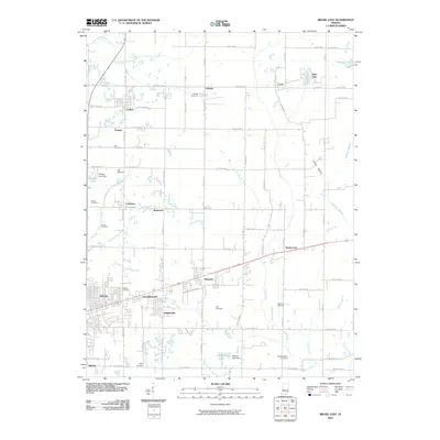
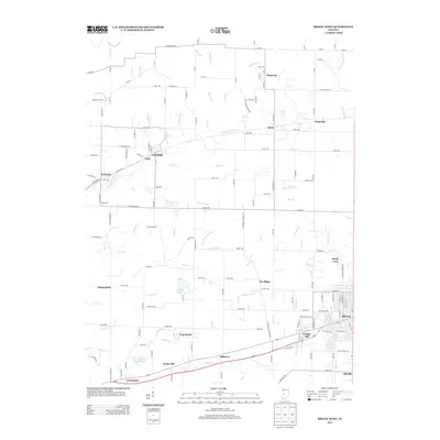
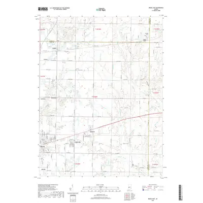
1950 Brazil West
Clay County, IN
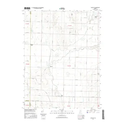
1957 Saline City
Clay County, IN
1960 Brazil East
Clay County, IN
1960 Brazil West
Clay County, IN
2010 Brazil East
Clay County, IN
2010 Brazil West
Clay County, IN
2010 Saline City
Clay County, IN
2013 Brazil East
Clay County, IN
2013 Brazil West
Clay County, IN
2013 Saline City
Clay County, IN
2016 Brazil East
Clay County, IN
2016 Brazil West
Clay County, IN
2016 Saline City
Clay County, IN
2019 Brazil East
Clay County, IN
2019 Brazil West
Clay County, IN
2019 Saline City
Clay County, IN
2022 Brazil East
Clay County, IN
2022 Brazil West
Clay County, IN
2022 Saline City
Clay County, IN