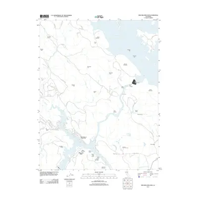
2012 Map of New Melones Dam
USGS Topo · Published 2012About this map
New Melones Lake and Tulloch Reservoir dominate this landscape along the Stanislaus River during the early 21st century. The map centers on the massive New Melones Dam and its immediate surroundings, including submerged historical markers like Central Ferry and Old Melones Dam Rd. These names hint at the engineering shifts that transformed the canyon, while local developments such as The Shores of Poker Flat reflect the modern residential character near the water's edge.
Find a feature on this map
80 named features on this map. Tap any name to fly to it.
Don’t see what you’re looking for? This feature index may not catch every label — zoom into the map to look around manually.
Map Details
Editions of this 2012 New Melones Dam Map
This is the sole edition of this map. No revisions or reprints were ever made.
Other maps of this area

1889 · Jackson
USGS Topo · 1:125,000

1891 · Big Trees
USGS Topo · 1:125,000

1892 · Jackson
USGS Topo · 1:125,000

1893 · Sonora
USGS Topo · 1:125,000

1894 · Big Trees
USGS Topo · 1:125,000

1896 · Sonora
USGS Topo · 1:125,000

1897 · Jackson
USGS Topo · 1:125,000

1897 · Sonora
USGS Topo · 1:125,000

1897 · Big Trees
USGS Topo · 1:125,000

1898 · Sonora
USGS Topo · 1:125,000
Featured Places
- Black Jack Bluffs, CA
- The Shores of Poker Flat, CA
- Tuolumne County, CA
- Calaveras County, CA
- United States