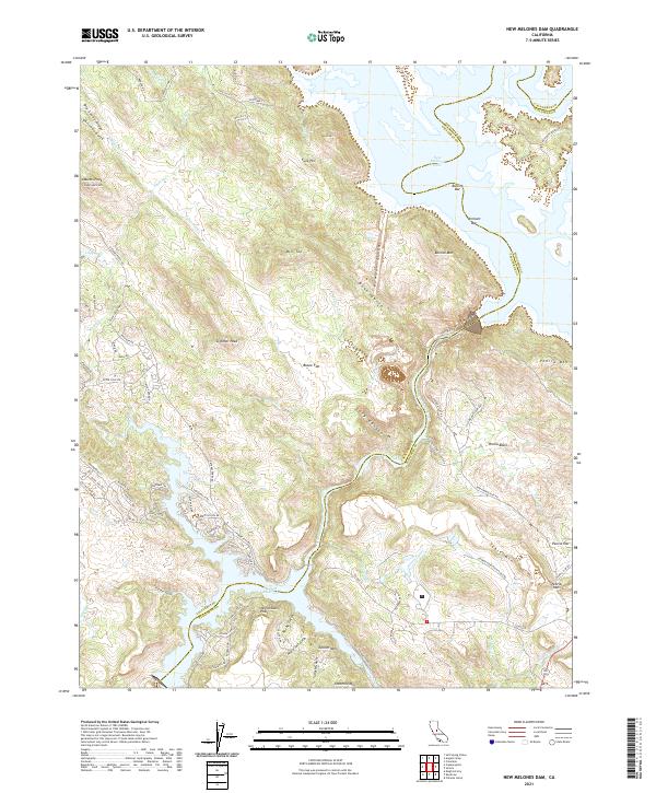
2021 Map of New Melones Dam
USGS Topo · Published 2021About this map
The Stanislaus River corridor defines the geography of this California region, where the modern landscape is dominated by the sprawling waters of New Melones Lake and the Tulloch Reservoir. The map illustrates the rugged transition from the high ridges of Big Seven Ridge and Bostick Mtn down into the submerged canyons. While residential developments like Tulloch Lake Estates and Conner Estates mark recent growth, the map preserves the nomenclature of the gold era through features such as Bostick Bar and Vermont Bar along the river's original course. Significant terrain landmarks including Table Mtn, Peoria Mtn, and the distinctive Negro Jack Point provide a clear view of the complex topography surrounding Iron Canyon. Historical land use is suggested by names like Bowie Flat and Peoria Basin, which contrast with the steep canyons and gulches that feed into the reservoirs.
Find a feature on this map
96 named features on this map. Tap any name to fly to it.
Don’t see what you’re looking for? This feature index may not catch every label — zoom into the map to look around manually.
Map Details
Editions of this 2021 New Melones Dam Map
This is the sole edition of this map. No revisions or reprints were ever made.
Other maps of this area

1889 · Jackson
USGS Topo · 1:125,000

1891 · Big Trees
USGS Topo · 1:125,000

1892 · Jackson
USGS Topo · 1:125,000

1893 · Sonora
USGS Topo · 1:125,000

1894 · Big Trees
USGS Topo · 1:125,000

1896 · Sonora
USGS Topo · 1:125,000

1897 · Jackson
USGS Topo · 1:125,000

1897 · Sonora
USGS Topo · 1:125,000

1897 · Big Trees
USGS Topo · 1:125,000

1898 · Sonora
USGS Topo · 1:125,000
Featured Places
- Black Jack Bluffs, CA
- The Shores of Poker Flat, CA
- Tuolumne County, CA
- Calaveras County, CA
- United States