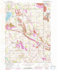
1963 Map of New Middletown
USGS Topo · Published 1992About this map
New Middletown and New Springfield anchor this detailed study of the Ohio-Pennsylvania borderlands during a period of transition in the mid-20th century. The landscape is a complex mix of agricultural land, rural residential clusters, and heavy industrial footprints, most notably the extensive Strip Mines that dominate the southern half of the quadrangle. Transport infrastructure is a defining feature, with the Ohio Turnpike cutting across the center, supported by local landmarks like the Petersburg Airfield and a Drive-in Theater near the Pennsylvania line.
Find a feature on this map
77 named features on this map. Tap any name to fly to it.
Don’t see what you’re looking for? This feature index may not catch every label — zoom into the map to look around manually.
Map Details
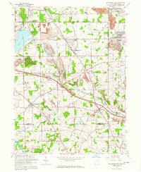
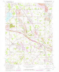
Editions of this 1963 New Middletown Map
Other maps of this area

1902 · New Castle
USGS Topo · 1:62,500

1904 · Newcastle
USGS Topo · 1:62,500

1905 · Neshannock
USGS Topo · 1:62,500

1906 · Youngstown
USGS Topo · 1:62,500

1907 · Neshannock
USGS Topo · 1:62,500

1907 · Columbiana
USGS Topo · 1:62,500

1908 · Youngstown
USGS Topo · 1:62,500

1909 · Columbiana
USGS Topo · 1:62,500

1950 · Cleveland
USGS Topo · 1:250,000

1951 · Canton
USGS Topo · 1:250,000