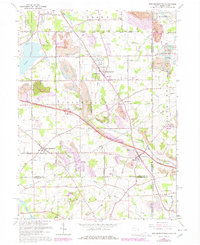
1963 Map of New Middletown
USGS Topo · Published 1978About this map
New Middletown and Petersburg anchor this region of eastern Ohio, where the state boundary with Pennsylvania meets the rural landscape of Mahoning and Columbiana Counties. The map reveals a transition from traditional agrarian settlements to a post-war industrial and transit corridor. The Ohio Turnpike cuts through the center of the sheet, serviced by dedicated service facilities, while extensive strip mines color the hillsides near Honey Creek. Genealogy and local history are well-represented by numerous sites including Zion Cem, St Lukes Ch, and the Township High Sch in Springfield. Cultural landmarks of the mid-century era, such as a Drive-in Theater and the Petersburg Airfield, sit alongside much older surveying lines like the Boundary Congress Lands and the Western Reserve border.
Find a feature on this map
66 named features on this map. Tap any name to fly to it.
Don’t see what you’re looking for? This feature index may not catch every label — zoom into the map to look around manually.
Map Details
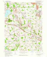
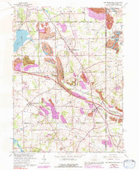
Editions of this 1963 New Middletown Map
Other maps of this area

1902 · New Castle
USGS Topo · 1:62,500

1904 · Newcastle
USGS Topo · 1:62,500

1905 · Neshannock
USGS Topo · 1:62,500

1906 · Youngstown
USGS Topo · 1:62,500

1907 · Neshannock
USGS Topo · 1:62,500

1907 · Columbiana
USGS Topo · 1:62,500

1908 · Youngstown
USGS Topo · 1:62,500

1909 · Columbiana
USGS Topo · 1:62,500

1950 · Cleveland
USGS Topo · 1:250,000

1951 · Canton
USGS Topo · 1:250,000