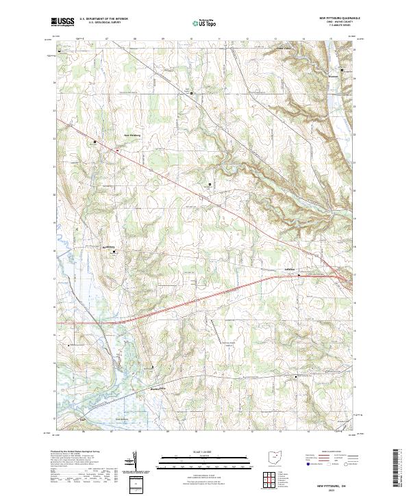
2023 Map of New Pittsburg
USGS Topo · Published 2023About this map
New Pittsburg and the surrounding township lands of Wayne County are defined by a network of small agricultural settlements and family burial grounds. The landscape is carved by the winding paths of Killbuck Creek and Little Killbuck Creek, which feed into the expansive wetland areas of Funk Bottoms near the southern edge of the survey. This territory is densely populated with community landmarks essential for genealogical research, including numerous rural cemeteries such as Eight Square Cem, Blachleyville Cem, and Plain Lutheran Cem.
Find a feature on this map
81 named features on this map. Tap any name to fly to it.
Don’t see what you’re looking for? This feature index may not catch every label — zoom into the map to look around manually.
Map Details
Editions of this 2023 New Pittsburg Map
This is the sole edition of this map. No revisions or reprints were ever made.
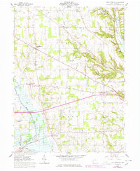
Historical Maps of Wayne County Through Time
Featured Locations
- Chester Township, OH
- Plain Township, OH
- Cedar Valley, Chester Township
- Overton, Chester Township
- Blachleyville, Plain Township