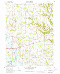
1961 Map of New Pittsburg
USGS Topo · Published 1978About this map
The agrarian landscape of western Wayne County is defined by the winding course of Little Killbuck Creek and the Muddy Fork in this 1961 survey, later updated in the late 1970s. The map highlights the rural township structure of Chester and Plain, where small crossroads communities like New Pittsburg and Blachleyville serve as local anchors. Genealogists will find a wealth of specific data, including family-history landmarks like Eight Square Cem and Reedsburg Cem, alongside numerous country houses of worship such as Emanuel Ch, Evangelical Ch, and Bethel Ch.
Find a feature on this map
38 named features on this map. Tap any name to fly to it.
Don’t see what you’re looking for? This feature index may not catch every label — zoom into the map to look around manually.
Map Details
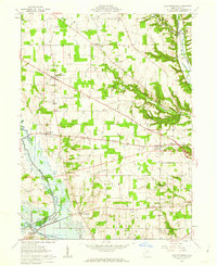
Editions of this 1961 New Pittsburg Map
2 editions found
Other maps of this area

1901 · Wooster
USGS Topo · 1:62,500

1903 · Wooster
USGS Topo · 1:62,500

1906 · West Salem
USGS Topo · 1:62,500

1908 · West Salem
USGS Topo · 1:62,500

1912 · Loudonville
USGS Topo · 1:62,500

1914 · Loudonville
USGS Topo · 1:62,500

1915 · Millersburg
USGS Topo · 1:62,500

1943 · Millersburg
USGS Topo · 1:62,500

1943 · Loudonville
USGS Topo · 1:62,500

1950 · Marion
USGS Topo · 1:250,000