2023 Map of New Riegel
USGS Topo · Published 2023About this map
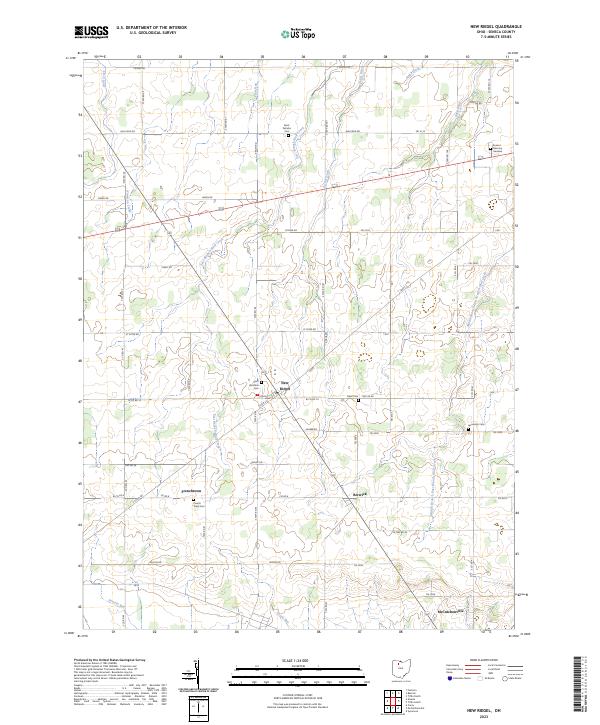
New Riegel sits at the heart of this Seneca County landscape, defined by a dense network of township and county roads that navigate the headwaters of the Wolf Creek system. The settlement patterns here reflect a strong Catholic heritage and deep family roots, visible in the cluster of burial grounds such as Saint Boniface Cem and the French Town Cem near Frenchtown. The terrain is etched by numerous agricultural drainage systems like Eicher Ditch and Staub Ditch, which channel water toward the East Branch Wolf Creek. To the south, the village of Berwick and the northern edge of McCutchenville anchor a region still largely defined by its original township divisions and rural cemeteries like Jerusalem Cem, documenting the persistence of these small communities into the twenty-first century.
Find a feature on this map
70 named features on this map. Tap any name to fly to it.
Don’t see what you’re looking for? This feature index may not catch every label — zoom into the map to look around manually.
Map Details
Editions of this 2023 New Riegel Map
This is the sole edition of this map. No revisions or reprints were ever made.
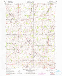
Historical Maps of New Riegel Through Time
Featured Locations
- Seneca Township, OH
- Big Spring Township, OH
- Hopewell Township, OH
- Berwick, Seneca Township
- New Riegel, Big Spring Township