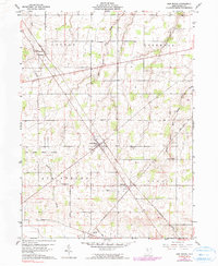
1960 Map of New Riegel
USGS Topo · Published 1990About this map
The Old Indian Treaty Boundary slices diagonally across this portion of Seneca County, a reminder of the historical land divisions that shaped northwest Ohio. Centered on the village of New Riegel, the landscape is defined by the headwaters of Wolf Creek and its various branches, including East Branch Wolf Creek and Middle Branch Wolf Creek. These waterways dictate the drainage of a largely agricultural region divided into the townships of Loudon, Hopewell, Seneca, and Big Spring.
Find a feature on this map
21 named features on this map. Tap any name to fly to it.
Don’t see what you’re looking for? This feature index may not catch every label — zoom into the map to look around manually.
Map Details
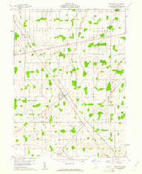
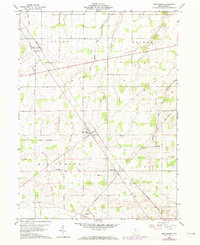
Editions of this 1960 New Riegel Map
Other maps of this area

1901 · Fostoria
USGS Topo · 1:62,500

1903 · Fostoria
USGS Topo · 1:62,500

1906 · Sycamore
USGS Topo · 1:62,500

1906 · Tiffin
USGS Topo · 1:62,500

1907 · Upper Sandusky
USGS Topo · 1:62,500

1950 · Marion
USGS Topo · 1:250,000

1956 · Toledo
USGS Topo · 1:250,000

1960 · Sycamore
USGS Topo · 1:24,000

1960 · Tiffin South
USGS Topo · 1:24,000
1960 · Bascom
USGS Topo · 1:24,000