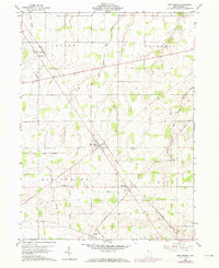
1960 Map of New Riegel
USGS Topo · Published 1973About this map
The Old Indian Treaty Boundary slices diagonally across this Seneca County landscape, a permanent mark of historical land division that persists through modern surveying. Centered on the village of New Riegel, the area is defined by a traditional Midwestern agricultural grid, punctuated by small clusters of settlement like Frenchtown and Berwick. The northern half of the map is dominated by the townships of Loudon and Hopewell, where the meandering courses of Wolf Creek and its many branches, including East Branch Wolf Creek, contrast with the rigid lines of the Penn Central railroad and a major Pipeline. Genealogists will find significant local landmarks including St Patricks Cem, Reisz Cem, and Jerusalem Cem, while the local Townhall serves as a civic anchor for the rural population near the western edge of the quadrangle.
Find a feature on this map
19 named features on this map. Tap any name to fly to it.
Don’t see what you’re looking for? This feature index may not catch every label — zoom into the map to look around manually.
Map Details
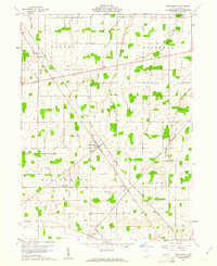
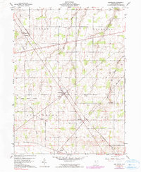
Editions of this 1960 New Riegel Map
Other maps of this area

1901 · Fostoria
USGS Topo · 1:62,500

1903 · Fostoria
USGS Topo · 1:62,500

1906 · Sycamore
USGS Topo · 1:62,500

1906 · Tiffin
USGS Topo · 1:62,500

1907 · Upper Sandusky
USGS Topo · 1:62,500

1950 · Marion
USGS Topo · 1:250,000

1956 · Toledo
USGS Topo · 1:250,000

1960 · Sycamore
USGS Topo · 1:24,000

1960 · Tiffin South
USGS Topo · 1:24,000
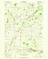
1960 · Bascom
USGS Topo · 1:24,000