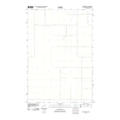
2011 Map of Newark NW
USGS Topo · Published 2011About this map
Agricultural grid lines define the landscape of the North Dakota and South Dakota borderlands at the start of the 2010s. This survey records a transition in the rural landscape where traditional township roads such as 100th St SE and 115th Ave SE crisscross the prairie at regular intervals. The area is characterized by its stark, open geography, where the primary infrastructure consists of local routes like 98th St SE and north-south corridors including 120th Ave SE and 416th Ave. The mapping of these section-line roads illustrates the enduring structure of the Great Plains homesteading pattern, even as physical farmsteads and rural dwellings appear sparse on the modern landscape. Along the southern edge, 104th St traces the boundary of this quiet agricultural expanse.
Find a feature on this map
18 named features on this map. Tap any name to fly to it.
Don’t see what you’re looking for? This feature index may not catch every label — zoom into the map to look around manually.
Map Details
Editions of this 2011 Newark NW Map
This is the sole edition of this map. No revisions or reprints were ever made.
Other maps of this area

1894 · Hecla
USGS Topo · 1:62,500

1894 · Oakes
USGS Topo · 1:62,500

1895 · Lamoure
USGS Topo · 1:125,000

1896 · Columbia
USGS Topo · 1:125,000

1918 · La Moure
USGS Topo · 1:125,000

1953 · Jamestown
USGS Topo · 1:250,000

1953 · Hecla SE
USGS Topo · 1:24,000

1953 · Newark SW
USGS Topo · 1:24,000

1953 · Newark
USGS Topo · 1:24,000

1953 · Milbank
USGS Topo · 1:250,000