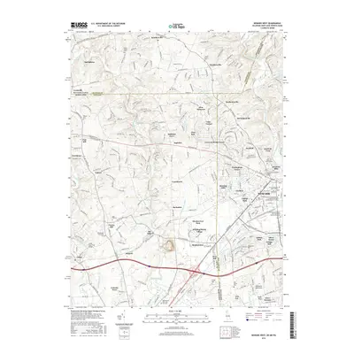
2016 Map of Newark West
USGS Topo · Published 2016About this map
Newark anchors the southeastern corner of this map, where the expansion of the University of Delaware system—including the Main Campus and Laird Campus—meets a landscape defined by the tri-state convergence of Delaware, Maryland, and Pennsylvania. The terrain is marked by the winding courses of the White Clay Creek, Christina River, and Big Elk Creek, which historically supported industrial sites like Elk Mills and Nonatum Mills. In the north, small crossroads settlements like Kemblesville and Strickersville maintain a rural character alongside several local burial grounds, such as the London Britain Cemetery and Mount Olivet Cemetery. The presence of the Childs Pony Truss Bridge and various family-named features like Gilpin Manor Memorial reflects the deep local history of this border region. Transport patterns follow historic routes like the New London Road, which connects these outlying hamlets to the growing academic and residential hub of Newark.
Find a feature on this map
264 named features on this map. Tap any name to fly to it.
Don’t see what you’re looking for? This feature index may not catch every label — zoom into the map to look around manually.
Map Details
Editions of this 2016 Newark West Map
This is the sole edition of this map. No revisions or reprints were ever made.
Other maps of this area

1898 · Elkton
USGS Topo · 1:62,500

1900 · Elkton
USGS Topo · 1:62,500

1901 · West Chester
USGS Topo · 1:62,500

1904 · West Chester
USGS Topo · 1:62,500

1904 · Coatesville
USGS Topo · 1:62,500

1904 · Wilmington
USGS Topo · 1:62,500

1906 · Coatesville
USGS Topo · 1:62,500

1906 · Wilmington
USGS Topo · 1:62,500

1917 · Elkton
USGS Topo · 1:62,500

1918 · Coatesville
USGS Topo · 1:62,500