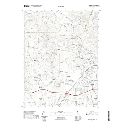
2019 Map of Newark West
USGS Topo · Published 2019About this map
Newark anchors the southeastern corner of this map where the borders of Delaware, Maryland, and Pennsylvania converge. The landscape is a dense network of suburban developments like Nottingham Green and College Park alongside older, established hamlets such as Kemblesville and Strickersville. The terrain is significantly defined by the hydrology of the White Clay Creek and the Christina River systems, which historically powered industry at sites like Nonatum Mills.
Find a feature on this map
137 named features on this map. Tap any name to fly to it.
Don’t see what you’re looking for? This feature index may not catch every label — zoom into the map to look around manually.
Map Details
Editions of this 2019 Newark West Map
This is the sole edition of this map. No revisions or reprints were ever made.
Other maps of this area

1898 · Elkton
USGS Topo · 1:62,500

1900 · Elkton
USGS Topo · 1:62,500

1901 · West Chester
USGS Topo · 1:62,500

1904 · West Chester
USGS Topo · 1:62,500

1904 · Coatesville
USGS Topo · 1:62,500

1904 · Wilmington
USGS Topo · 1:62,500

1906 · Coatesville
USGS Topo · 1:62,500

1906 · Wilmington
USGS Topo · 1:62,500

1917 · Elkton
USGS Topo · 1:62,500

1918 · Coatesville
USGS Topo · 1:62,500