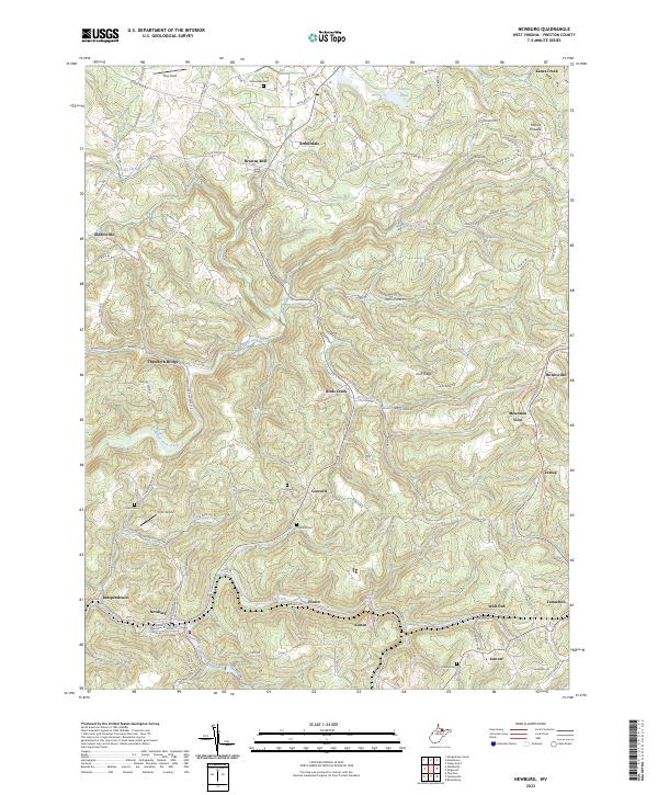
2023 Map of Newburg
USGS Topo · Published 2023About this map
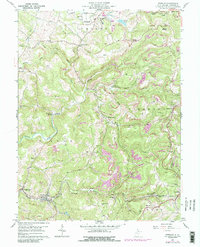
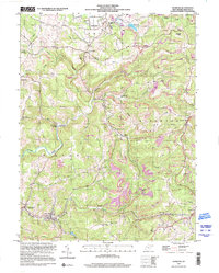
Arthurdale and the surrounding Preston County landscape are defined by a network of small upland settlements and the winding tributaries of Three Fork Creek. The geography reveals a community structured around early industrial and agricultural foundations, where Browns Mill and Threefork Bridge serve as historic nodes for local transit. The presence of numerous family and community burial grounds, such as Arthurdale Cem, Concord Cem, and Union Cem, provides a detailed look at the region’s genealogical history.
Find a feature on this map
131 named features on this map. Tap any name to fly to it.
Don’t see what you’re looking for? This feature index may not catch every label — zoom into the map to look around manually.
Map Details
Editions of this 2023 Newburg Map
This is the sole edition of this map. No revisions or reprints were ever made.
Historical Maps of Independence Through Time
3 maps found