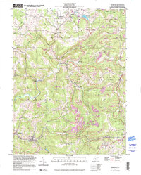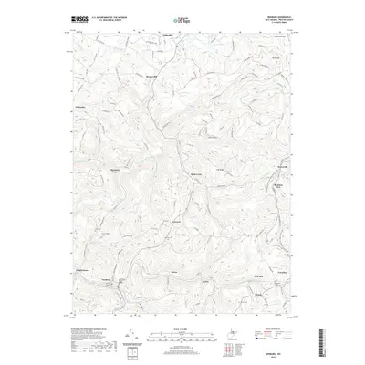
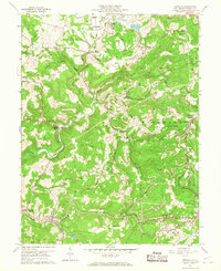
1960 Map of Newburg
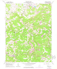
USGS Topo · Published 1988About this map
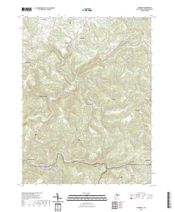
Arthurdale stands as a primary focal point in this Preston County landscape, a planned community characterized by its unique spatial arrangement and local institutions like the Arthurdale Sch and Arthurdale Cem. The 1960s terrain is deeply defined by the presence of numerous Strip Mines, which pockmark the ridges and valleys between the industrial corridors of the Baltimore and Ohio and Northern West Virginia railroads. These rail lines connect historical mining and residential centers such as Newburg, Austen, and Tunnelton. Local life is further recorded through a network of rural landmarks, including the Gordon Ch and Bethlehem Ch, as well as older infrastructure like Browns Mill on Stacks Run. The map effectively captures the mid-century transition of this Appalachian coal region, documenting the heavy impact of surface mining alongside established settlements like Howesville and Gladesville.
Find a feature on this map
55 named features on this map. Tap any name to fly to it.
Don’t see what you’re looking for? This feature index may not catch every label — zoom into the map to look around manually.
Map Details
Editions of this 1960 Newburg Map
4 editions found
Historical Maps of Newburg Through Time
7 maps found