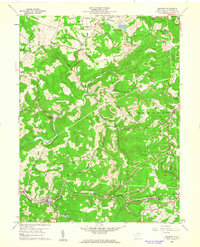
1960 Map of Newburg
USGS Topo · Published 1962About this map
Arthurdale stands as a focal point in the northern portion of this landscape, surrounded by the agricultural patterns of Brains Fields and Fields. The terrain is deeply defined by the industrial and transport corridors of the early 1960s, notably the Baltimore and Ohio railroad which follows the winding path of Raccoon Creek through Newburg, Hiorra, and Austen. Further east, the West Virginia Northern rail line services the ridge-top community of Howesville. The topography is scarred by numerous Strip Mines and the Scotch Mine, illustrating the heavy reliance on extraction in Lyon and Reno districts. Local history is preserved in a dense network of country landmarks, from the Gordon Ch and Pratt Cem to the isolated Pell Sch. Significant water bodies like Three Fork Creek and Deckers Creek carve through the ridges, connecting smaller settlements like Birds Creek and Gladesville.
Find a feature on this map
61 named features on this map. Tap any name to fly to it.
Don’t see what you’re looking for? This feature index may not catch every label — zoom into the map to look around manually.
Map Details
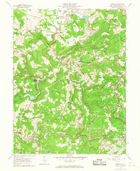
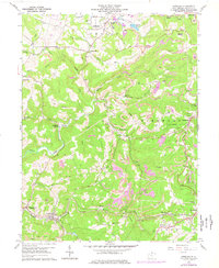
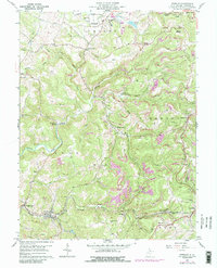
Editions of this 1960 Newburg Map
4 editions found
Other maps of this area

1886 · St. George
USGS Topo · 1:125,000

1891 · St. George
USGS Topo · 1:125,000

1902 · Morgantown
USGS Topo · 1:62,500

1904 · Bruceton
USGS Topo · 1:62,500

1907 · Thornton
USGS Topo · 1:62,500

1907 · Kingwood
USGS Topo · 1:62,500

1925 · Kingwood
USGS Topo · 1:62,500

1925 · Morgantown
USGS Topo · 1:62,500

1926 · Thornton
USGS Topo · 1:62,500

1926 · Bruceton
USGS Topo · 1:62,500