
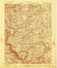
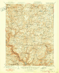
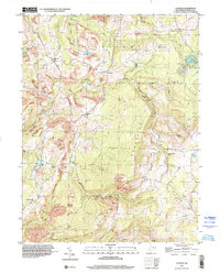
1907 Map of Thornton
USGS Topo · Published 1907About this map
Newburg and Tunnelton serve as the primary hubs in this mountainous landscape during the early twentieth century, their development dictated by the winding path of the Baltimore and Ohio RR. The rail corridor follows the drainage of Threefork Creek, carving a vital transportation artery through the heart of Preston and Taylor counties. This era reveals a transition from traditional turnpike travel to steam-powered transit, as the Northwestern Turnpike and Morgantown Turnpike cross-stitch the countryside, linking smaller settlements like Evansville and Knottsville.
Find a feature on this map
114 named features on this map. Tap any name to fly to it.
Don’t see what you’re looking for? This feature index may not catch every label — zoom into the map to look around manually.
Map Details
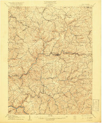
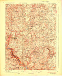
Editions of this 1907 Thornton Map
2 editions found
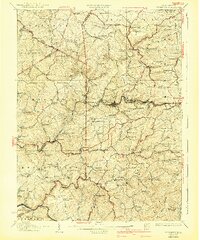
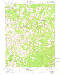
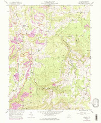
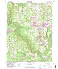
Historical Maps of Grafton Through Time
13 maps found
1904 Bruceton
Preston County, WV
1907 Thornton
Preston County, WV
1926 Bruceton
Preston County, WV
1926 Thornton
Preston County, WV
1933 Bruceton
Preston County, WV
1958 Fellowsville
Preston County, WV
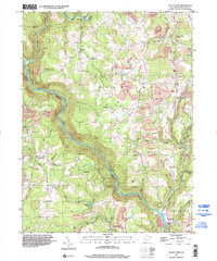
1959 Cuzzart
Preston County, WV
1959 Valley Point
Preston County, WV
1997 Cuzzart
Preston County, WV
1997 Valley Point
Preston County, WV
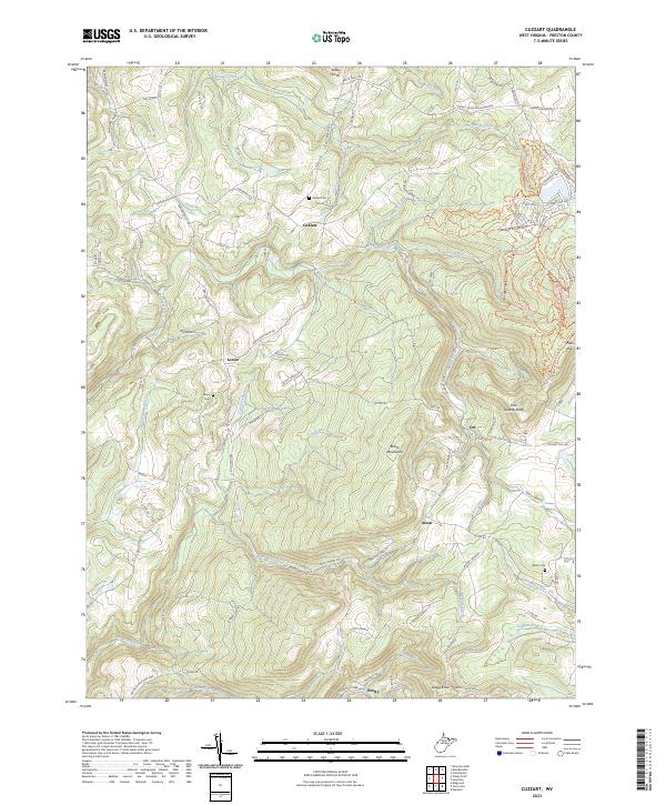
2023 Cuzzart
Preston County, WV
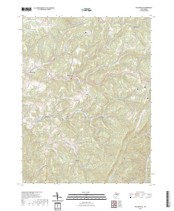
2023 Fellowsville
Preston County, WV
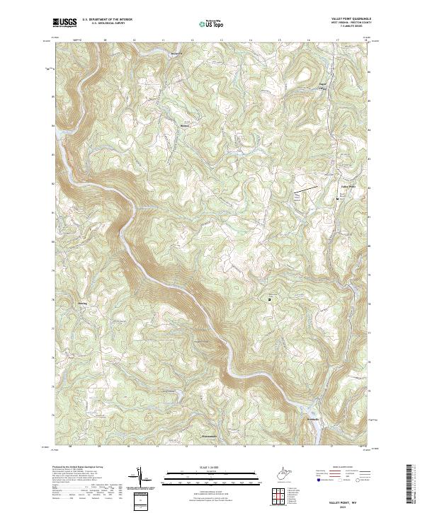
2023 Valley Point
Preston County, WV