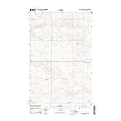
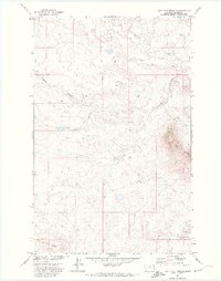
2014 Map of Newhouse Reservoir
USGS Topo · Published 2014About this map
Peoples Cr and its various tributaries define this section of north-central Montana, where the drainage systems of the Maggie Cr and the North Branch White Bear Creek dictate the layout of the land. This 2014 survey records a landscape shaped by water management in a semi-arid environment, characterized by several significant catchment areas such as the Newhouse Reservoir, White Bear Reservoir, and Anderson Reservoir. These features, along with the White Bear Spring, suggest a reliance on managed water sources for local ranching or agricultural needs.
Find a feature on this map
17 named features on this map. Tap any name to fly to it.
Don’t see what you’re looking for? This feature index may not catch every label — zoom into the map to look around manually.
Map Details
Editions of this 2014 Newhouse Reservoir Map
This is the sole edition of this map. No revisions or reprints were ever made.
Other maps of this area

1953 · Havre
USGS Topo · 1:250,000

1956 · Rattlesnake
USGS Topo · 1:62,500

1956 · Cleveland
USGS Topo · 1:62,500

1957 · Havre
USGS Topo · 1:250,000

1958 · Havre
USGS Topo · 1:250,000
1964 · Fort Belknap Agency
USGS Topo · 1:24,000
1964 · Big Coulee
USGS Topo · 1:24,000

1971 · Putnam Lake
USGS Topo · 1:24,000
1971 · Fort Belknap Agency SE
USGS Topo · 1:24,000
1971 · Lake Seventeen NE
USGS Topo · 1:24,000