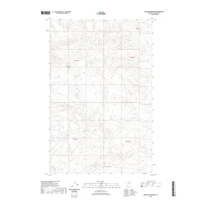
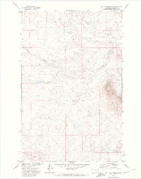
2020 Map of Newhouse Reservoir
USGS Topo · Published 2020About this map
White Bear Reservoir and the nearby White Bear Spring anchor this portion of the Agency District, where water management is central to the high plains landscape. This modern survey illustrates the intricate drainage network of northern Montana, including the N Br White Bear Cr and S Br White Bear Cr which feed toward the Milk River valley. The terrain is marked by landform features such as Black Hills Coulee and numerous small prairie potholes that populate the landscape between Peoples Cr and Maggie Cr.
Find a feature on this map
17 named features on this map. Tap any name to fly to it.
Don’t see what you’re looking for? This feature index may not catch every label — zoom into the map to look around manually.
Map Details
Editions of this 2020 Newhouse Reservoir Map
This is the sole edition of this map. No revisions or reprints were ever made.
Other maps of this area

1953 · Havre
USGS Topo · 1:250,000

1956 · Rattlesnake
USGS Topo · 1:62,500

1956 · Cleveland
USGS Topo · 1:62,500

1957 · Havre
USGS Topo · 1:250,000

1958 · Havre
USGS Topo · 1:250,000
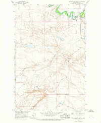
1964 · Fort Belknap Agency
USGS Topo · 1:24,000
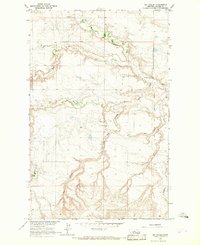
1964 · Big Coulee
USGS Topo · 1:24,000

1971 · Putnam Lake
USGS Topo · 1:24,000
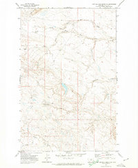
1971 · Fort Belknap Agency SE
USGS Topo · 1:24,000
1971 · Lake Seventeen NE
USGS Topo · 1:24,000