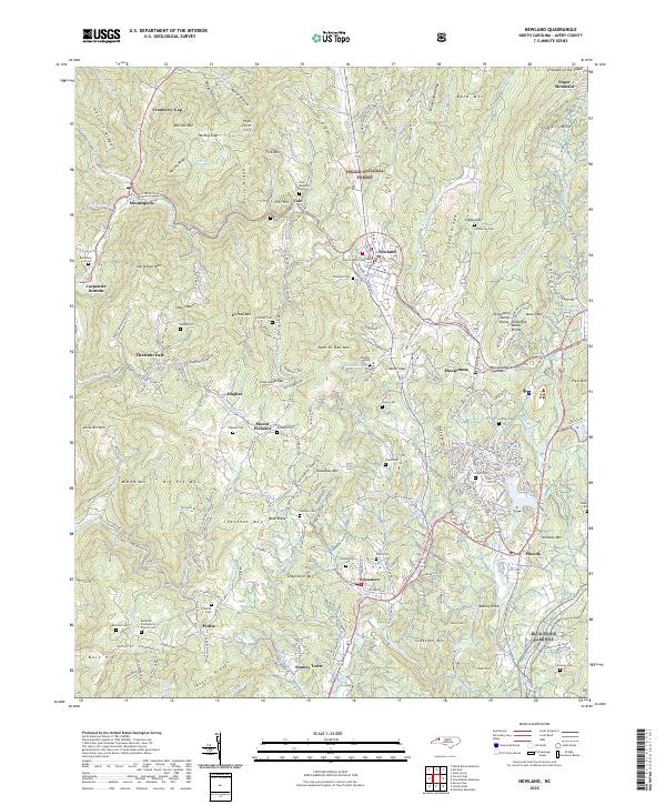
2022 Map of Newland
USGS Topo · Published 2022About this map
The Avery County Courthouse serves as the focal point for Newland, the highest county seat in the eastern United States, positioned along the Tennessee Valley Divide. This 2022 survey captures the High Country landscape where the North Toe River and Linville River originate, shaping the settlement patterns of mountain communities like Montezuma, Pineola, and Crossnore. The terrain is defined by a succession of ridges including Houston Ridge, Stover Ridge, and Loggy Ridge, which dictate the winding paths of rural routes such as Old Toe River Rd.
Find a feature on this map
166 named features on this map. Tap any name to fly to it.
Don’t see what you’re looking for? This feature index may not catch every label — zoom into the map to look around manually.
Map Details
Editions of this 2022 Newland Map
This is the sole edition of this map. No revisions or reprints were ever made.
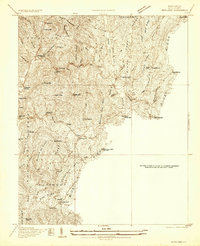
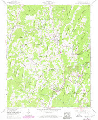
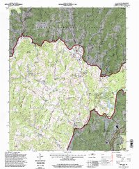
Historical Maps of Vale Through Time
4 maps found