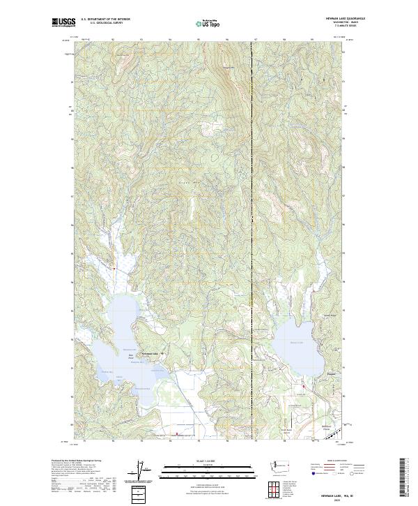
2023 Map of Newman Lake
USGS Topo · Published 2023About this map
Newman Lake and Hauser Lake dominate this transition between the edge of the Rathdrum Prairie and the rising timberlands along the Washington-Idaho border. The lakeshores show a high density of residential development and private roads, such as N Peninsula Dr and March Horse Ln, which contrast sharply with the steep, unnamed slopes leading up to Green Mtn and Ragged Mtn. The numerous bays of Newman Lake, including Honeymoon Bay, Sutton Bay, and Shadow Bay, illustrate a landscape heavily shaped by recreational and residential use.
Find a feature on this map
91 named features on this map. Tap any name to fly to it.
Don’t see what you’re looking for? This feature index may not catch every label — zoom into the map to look around manually.
Map Details
Editions of this 2023 Newman Lake Map
This is the sole edition of this map. No revisions or reprints were ever made.
Other maps of this area

1901 · Spokane
USGS Topo · 1:125,000

1903 · Rathdrum
USGS Topo · 1:125,000

1943 · Mt Spokane
USGS Topo · 1:62,500

1949 · Greenacres
USGS Topo · 1:62,500

1950 · Mt Spokane
USGS Topo · 1:62,500

1951 · Greenacres
USGS Topo · 1:62,500

1955 · Spokane
USGS Topo · 1:250,000

1957 · Coeur D'Alene
USGS Topo · 1:62,500

1958 · Spokane
USGS Topo · 1:250,000

1961 · Rathdrum
USGS Topo · 1:24,000