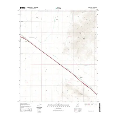
2014 Map of Newman Peak
USGS Topo · Published 2014About this map
Picacho Mountains dominate the eastern half of this landscape, rising sharply from the desert floor and culminating at the summit of Newman Peak. To the southwest, the distinctive profile of Picacho Peak stands as a clear landmark for travelers navigating the interstate and frontage roads. This 2014 survey documents the critical water infrastructure supporting the arid environment of Pinal County, including the massive Central Arizona Project Aqueduct which cuts through the mountain foothills and the Central Main Canal serving the lowlands to the west.
Find a feature on this map
25 named features on this map. Tap any name to fly to it.
Don’t see what you’re looking for? This feature index may not catch every label — zoom into the map to look around manually.
Map Details
Editions of this 2014 Newman Peak Map
This is the sole edition of this map. No revisions or reprints were ever made.
Other maps of this area

1922 · Red Rock No 2
USGS Topo · 1:48,000

1922 · Signal Peak
USGS Topo · 1:62,500

1924 · Signal Peak
USGS Topo · 1:62,500

1934 · Newman Peak
USGS Topo · 1:125,000

1947 · Red Rock
USGS Topo · 1:62,500

1947 · Eloy
USGS Topo · 1:62,500

1948 · Eloy
USGS Topo · 1:62,500

1956 · Tucson
USGS Topo · 1:250,000

1958 · Tucson
USGS Topo · 1:250,000

1959 · Tucson
USGS Topo · 1:250,000