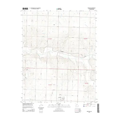
2015 Map of Newtonia
USGS Topo · Published 2015About this map
The Civil War Cemetery in Newtonia stands as a focal point for this section of southwest Missouri, marking a landscape defined by its historical significance and rural character. The settlement of Newtonia is situated near the confluence of Newtonia Br and other local waterways, serving as a quiet anchor in a region known for its early mining and agricultural heritage. Further north, the town of Ritchey is positioned along the banks of Shoal Creek, which meanders across the center of the map, carving a path through the rolling terrain.
Find a feature on this map
63 named features on this map. Tap any name to fly to it.
Don’t see what you’re looking for? This feature index may not catch every label — zoom into the map to look around manually.
Map Details
Editions of this 2015 Newtonia Map
This is the sole edition of this map. No revisions or reprints were ever made.
Other maps of this area

1886 · Carthage
USGS Topo · 1:125,000

1894 · Carthage
USGS Topo · 1:125,000

1916 · Neosho
USGS Topo · 1:62,500

1921 · Sarcoxie
USGS Topo · 1:62,500

1943 · Ritchey
USGS Topo · 1:62,500

1947 · Joplin
USGS Topo · 1:250,000

1949 · Joplin
USGS Topo · 1:250,000

1954 · Tulsa
USGS Topo · 1:250,000

1954 · Joplin
USGS Topo · 1:250,000

1958 · Joplin
USGS Topo · 1:250,000