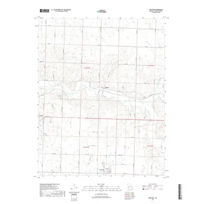
2017 Map of Newtonia
USGS Topo · Published 2017About this map
Newtonia and Ritchey anchor this section of Newton County, Missouri, where the landscape is defined by the winding course of Shoal Creek and its many tributaries. The area is notable for its connection to American history, specifically through the Civil War Cem located just north of the Newtonia town center. This proximity highlights the significance of the region during the 19th-century conflict, providing a tangible link for genealogists and historians investigating local lineages or military events.
Find a feature on this map
70 named features on this map. Tap any name to fly to it.
Don’t see what you’re looking for? This feature index may not catch every label — zoom into the map to look around manually.
Map Details
Editions of this 2017 Newtonia Map
This is the sole edition of this map. No revisions or reprints were ever made.
Other maps of this area

1886 · Carthage
USGS Topo · 1:125,000

1894 · Carthage
USGS Topo · 1:125,000

1916 · Neosho
USGS Topo · 1:62,500

1921 · Sarcoxie
USGS Topo · 1:62,500

1943 · Ritchey
USGS Topo · 1:62,500

1947 · Joplin
USGS Topo · 1:250,000

1949 · Joplin
USGS Topo · 1:250,000

1954 · Tulsa
USGS Topo · 1:250,000

1954 · Joplin
USGS Topo · 1:250,000

1958 · Joplin
USGS Topo · 1:250,000