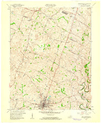
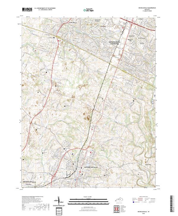
1959 Map of Nicholasville
USGS Topo · Published 1960About this map
Nicholasville serves as the central hub of this 1959 survey, showing the town's street grid and development at the intersection of the Southern railroad and regional thoroughfares. The surrounding Jessamine County landscape is defined by a network of rural roads such as Delaneys Ferry Road and Brannon Road, connecting small settlements and agricultural landmarks. To the north, the boundary between Fayette and Jessamine Counties passes near South Elkhorn and the Blue Grass Memorial Gardens. The drainage patterns of Hickman Creek and its branches, including West Branch, carve through the terrain toward the settlement of Union Mills. Local community life is evidenced by the presence of the County High Sch, Providence Ch, and mid-century cultural features like the Drive-in Theater along the Blue Grass Memorial Highway.
Find a feature on this map
34 named features on this map. Tap any name to fly to it.
Don’t see what you’re looking for? This feature index may not catch every label — zoom into the map to look around manually.
Map Details
Editions of this 1959 Nicholasville Map
This is the sole edition of this map. No revisions or reprints were ever made.
Historical Maps of Lexington Through Time
8 maps found
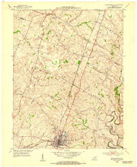
1952 Nicholasville
Jessamine County, KY
1959 Nicholasville
Jessamine County, KY
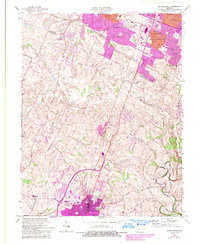
1965 Nicholasville
Jessamine County, KY
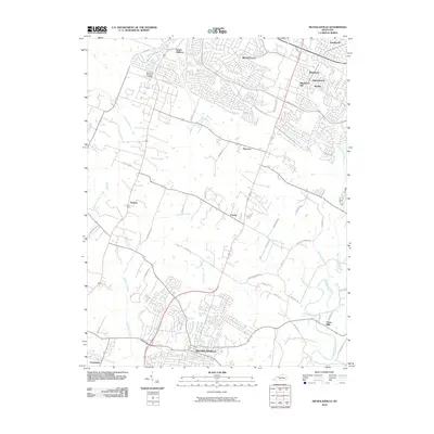
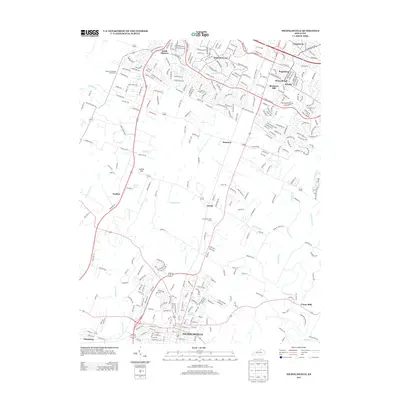
2010 Nicholasville
Jessamine County, KY
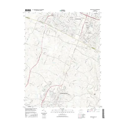
2013 Nicholasville
Jessamine County, KY
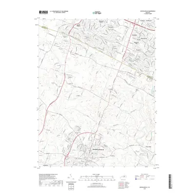
2016 Nicholasville
Jessamine County, KY
2019 Nicholasville
Jessamine County, KY
2022 Nicholasville
Jessamine County, KY