Loading...
Loading map...2024 Map of Nicholls
USGS Topo · Published 2024About this map
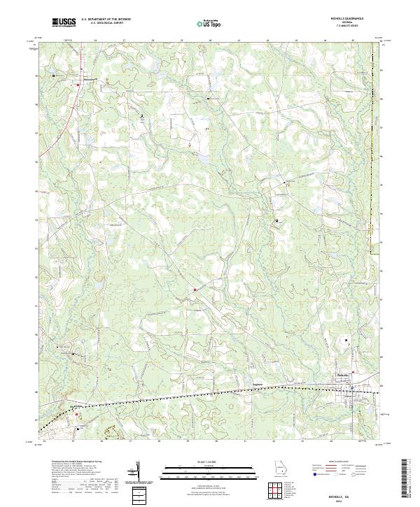
Nicholls serves as the primary hub for this portion of Southeast Georgia, where the local road network converges near the Coffee and Bacon county line. The landscape is defined by the winding paths of Hurricane Creek and Otter Creek, which weave through a mosaic of agricultural fields and timberlands. Small settlements like West Green and Chatterton anchor the rural community, connected by historic thoroughfares such as the New Forest Hwy.
Find a feature on this map
108 named features on this map. Tap any name to fly to it.
Don’t see what you’re looking for? This feature index may not catch every label — zoom into the map to look around manually.
Map Details
Date Portrayed2024
Date Published2024
PublisherU.S. Geological Survey
Map TypeTopographic
Scale1:24000
Physical Dimensions24 x 29 inches
Editions of this 2024 Nicholls Map
This is the sole edition of this map. No revisions or reprints were ever made.
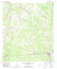
Historical Maps of Nicholls Through Time
Featured Locations
Source Details
SourceU.S. Geological Survey
CopyrightPublic Domain