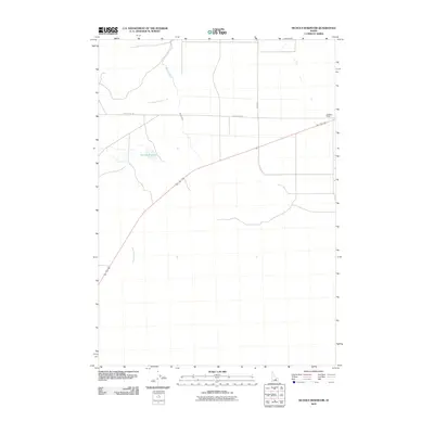
2010 Map of Nichols Reservoir
USGS Topo · Published 2010About this map
Nichols Reservoir sits as a central water feature in this portion of Butte County, where the high desert landscape is defined by irrigation systems and isolated outposts. The Blaine Canal cuts a distinct path through the terrain, illustrating the managed water network essential to the region's agricultural viability. To the northeast, the Soelberg Ranch provides a specific point of human settlement amidst the broad, open stretches of the Idaho interior. Movement through this area is facilitated by established routes like Blizzard Mt Rd and 3800 West, while seasonal watercourses such as Timbered Dome Creek and Champagne Creek trace the natural drainage patterns that have historically shaped land use in this part of the state.
Find a feature on this map
7 named features on this map. Tap any name to fly to it.
Don’t see what you’re looking for? This feature index may not catch every label — zoom into the map to look around manually.
Map Details
Editions of this 2010 Nichols Reservoir Map
This is the sole edition of this map. No revisions or reprints were ever made.
Other maps of this area

1935 · MacKay
USGS Topo · 1:96,000

1955 · Idaho Falls
USGS Topo · 1:250,000

1958 · Idaho Falls
USGS Topo · 1:250,000

1960 · Grouse
USGS Topo · 1:62,500

1972 · Arco North
USGS Topo · 1:24,000

1972 · Arco South
USGS Topo · 1:24,000

1972 · Nichols Reservoir
USGS Topo · 1:24,000

1972 · Fingers Butte
USGS Topo · 1:24,000

1972 · Inferno Cone
USGS Topo · 1:24,000

1972 · Appendicitis Hill
USGS Topo · 1:24,000