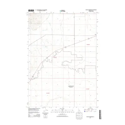
2013 Map of Nichols Reservoir
USGS Topo · Published 2013About this map
Craters of the Moon National Preserve dominates the southern half of this Butte County landscape, where the jagged boundaries of the protected volcanic terrain meet the structured sections of Idaho's high desert. The transition from the preservation area to the surrounding plains is defined by a sparse but vital water network, including the Blaine Canal and the Nichols Reservoir. Agriculture and ranching footprints are evident at the Soelberg Ranch near the eastern boundary, while the western reaches are drained by Champagne Cr and Timbered Dome Cr. This map captures a classic Western high-desert interface between federal conservation lands and isolated ranching operations at the start of the twenty-first century.
Find a feature on this map
12 named features on this map. Tap any name to fly to it.
Don’t see what you’re looking for? This feature index may not catch every label — zoom into the map to look around manually.
Map Details
Editions of this 2013 Nichols Reservoir Map
This is the sole edition of this map. No revisions or reprints were ever made.
Other maps of this area

1935 · MacKay
USGS Topo · 1:96,000

1955 · Idaho Falls
USGS Topo · 1:250,000

1958 · Idaho Falls
USGS Topo · 1:250,000

1960 · Grouse
USGS Topo · 1:62,500

1972 · Arco North
USGS Topo · 1:24,000

1972 · Arco South
USGS Topo · 1:24,000

1972 · Nichols Reservoir
USGS Topo · 1:24,000

1972 · Fingers Butte
USGS Topo · 1:24,000

1972 · Inferno Cone
USGS Topo · 1:24,000

1972 · Appendicitis Hill
USGS Topo · 1:24,000