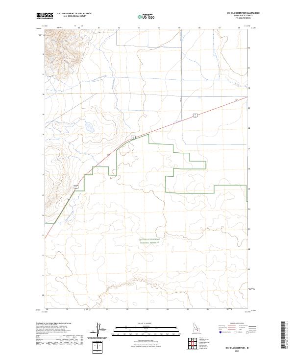
2023 Map of Nichols Reservoir
USGS Topo · Published 2023About this map
The vast volcanic landscape of Craters Of The Moon National Preserve dominates the southern reaches of this modern Idaho survey. The terrain transitions from the high, relief-heavy ridges near Timbered Dome Creek in the northwest to the expansive, relatively flat high desert plains of the Snake River Plain. This area illustrates the critical intersection of natural wilderness and human engineering, as seen in the linear paths of the Blaine Canal and Moore Canal, which draw water across the arid Butte County landscape. These irrigation features stand in contrast to the seasonal drainage of Champagne Creek, highlighting the region's managed water network. The map also documents the passage of modern transit via Highway 20 26 and 93, which intersect this rugged portion of the Intermountain West.
Find a feature on this map
11 named features on this map. Tap any name to fly to it.
Don’t see what you’re looking for? This feature index may not catch every label — zoom into the map to look around manually.
Map Details
Editions of this 2023 Nichols Reservoir Map
This is the sole edition of this map. No revisions or reprints were ever made.
Other maps of this area

1935 · MacKay
USGS Topo · 1:96,000

1955 · Idaho Falls
USGS Topo · 1:250,000

1958 · Idaho Falls
USGS Topo · 1:250,000

1960 · Grouse
USGS Topo · 1:62,500

1972 · Arco North
USGS Topo · 1:24,000

1972 · Arco South
USGS Topo · 1:24,000

1972 · Nichols Reservoir
USGS Topo · 1:24,000

1972 · Fingers Butte
USGS Topo · 1:24,000

1972 · Inferno Cone
USGS Topo · 1:24,000

1972 · Appendicitis Hill
USGS Topo · 1:24,000