2022 Map of Nicollet
USGS Topo · Published 2022About this map
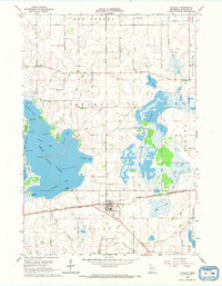
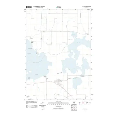
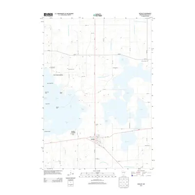
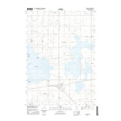
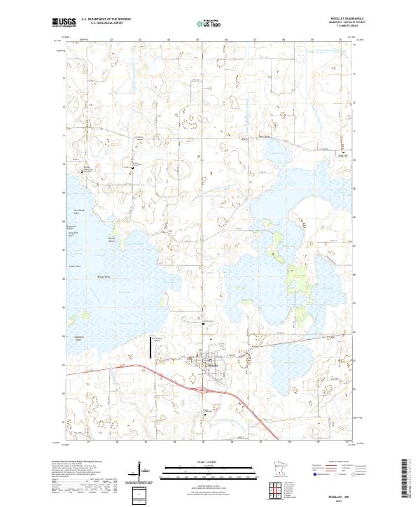
The city of Nicollet sits at the heart of this agricultural landscape, surrounded by an intricate network of waterways and glacial lakes. To the north and west, the massive expanse of Swan Lake is defined by numerous distinct features like Saul Paugh Point, Anderson Island, and Breezy Point. The surrounding countryside is heavily managed by an extensive drainage system, including County Ditch Number Thirty A and County Ditch Number Seventy-six, which connect the wetlands and lakes to the Swan Lake Outlet. Local history and genealogy are well-preserved through several dedicated burial sites, including the Nicollet County Poor Farm Cem, the Gleason Private Cem, and the Middle Lake Catholic Cem. Beyond the residential streets of Nicollet, the landscape is dotted with rural landmarks such as the Hay Shakers Airport and the shores of Middle Lake and Duck Lake.
Find a feature on this map
76 named features on this map. Tap any name to fly to it.
Don’t see what you’re looking for? This feature index may not catch every label — zoom into the map to look around manually.
Map Details
Editions of this 2022 Nicollet Map
This is the sole edition of this map. No revisions or reprints were ever made.
Historical Maps of Nicollet Through Time
6 maps found