
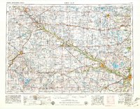
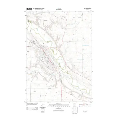
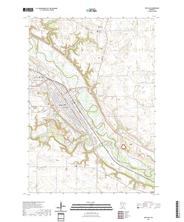
1958 Map of New Ulm
USGS Topo · Published 1958About this map
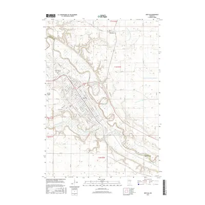
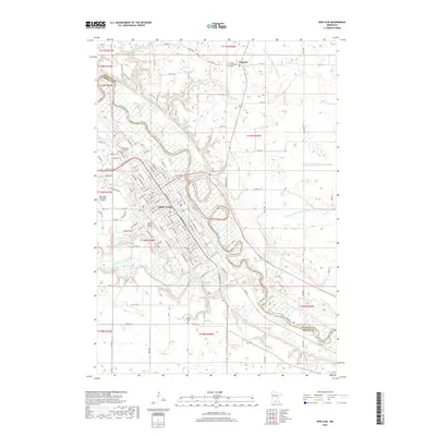
The Minnesota River carves a deep path through the Minnesota Valley, serving as the primary geographic corridor for this region of south-central Minnesota. In the mid-1950s, the landscape is defined by a dense grid of agricultural townships and a robust rail network, including the Chicago and North Western Ry and the Minneapolis and St Louis Ry. These lines connect essential prairie hubs like Montevideo, Redwood Falls, and Hutchinson.
Find a feature on this map
146 named features on this map. Tap any name to fly to it.
Don’t see what you’re looking for? This feature index may not catch every label — zoom into the map to look around manually.
Map Details
Editions of this 1958 New Ulm Map
This is the sole edition of this map. No revisions or reprints were ever made.
Historical Maps of Mankato Through Time
13 maps found
1953 New Ulm
Brown County, MN

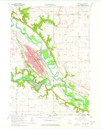
1957 New Ulm
Brown County, MN
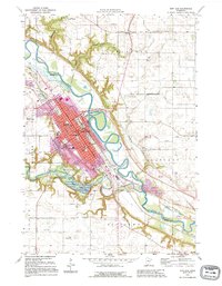
1958 New Ulm
Brown County, MN
1964 New Ulm
Brown County, MN

1967 New Ulm
Brown County, MN

1986 New Ulm
Brown County, MN

1991 New Ulm
Brown County, MN
1992 New Ulm
Brown County, MN
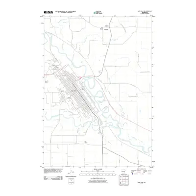
2010 New Ulm
Brown County, MN
2013 New Ulm
Brown County, MN
2016 New Ulm
Brown County, MN
2019 New Ulm
Brown County, MN
2022 New Ulm
Brown County, MN