Loading...
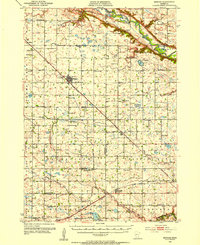
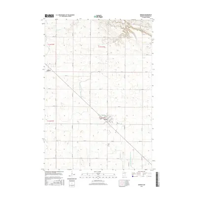
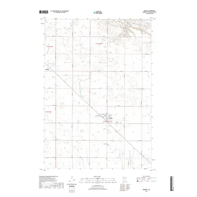
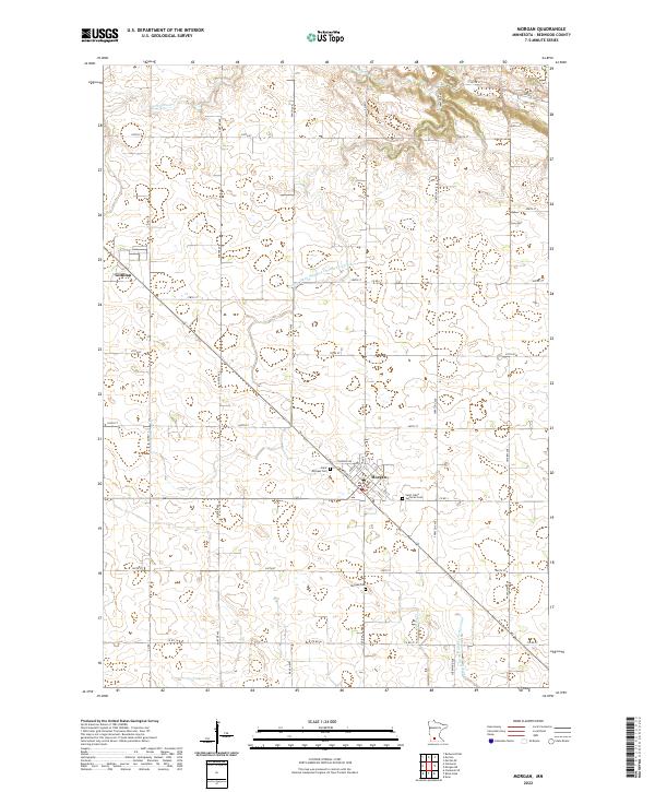
Loading map...1953 Map of Morgan
USGS Topo · Published 1955About this map
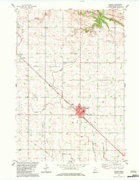
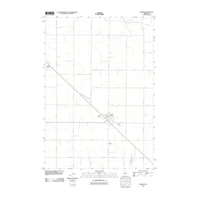
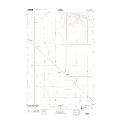
Morgan stands as the central hub of this agricultural landscape in Redwood and Brown Counties, situated at the intersection of the Chicago and North Western rail line and primary regional roads. The terrain is defined by the winding course of the Minnesota River at the northern edge and the Cottonwood River to the south, with numerous drainage features like Ditch No 1 and Sleepy Eye Creek supporting the surrounding farmland.
Find a feature on this map
62 named features on this map. Tap any name to fly to it.
Don’t see what you’re looking for? This feature index may not catch every label — zoom into the map to look around manually.
Map Details
Date Portrayed1953
Date Published1955
PublisherU.S. Geological Survey
Map TypeTopographic
Scale1:62,500
Physical Dimensions16.5 x 20.1 inches
Editions of this 1953 Morgan Map
This is the sole edition of this map. No revisions or reprints were ever made.
Historical Maps of Morgan Through Time
7 maps found
Featured Locations
Source Details
SourceU.S. Geological Survey
CopyrightPublic Domain