
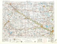
1957 Map of New Ulm
USGS Topo · Published 1957About this map
The Minnesota River carves a deep valley across the heart of this mid-1950s landscape, serving as the historical and geographical anchor for central Minnesota settlements. Along its banks, the Upper Sioux Indian Mission and Morton Indian Mission mark significant cultural sites, while the Milford State Monument near New Ulm commemorates the area's complex frontier history. The regional economy is defined by the rail lines of the Chicago and North Western and Great Northern, which link agricultural hubs like Montevideo, Hutchinson, and Glencoe. This survey captures the region just before the major expansion of the modern highway system, showing the established network of smaller towns such as Clara City and Bird Island. To the north and east, the glaciated terrain is punctuated by significant water bodies, including Big Kandiyohi Lake and Swan Lake, reflecting the transition from river valley to the prairie pothole region.
Find a feature on this map
201 named features on this map. Tap any name to fly to it.
Don’t see what you’re looking for? This feature index may not catch every label — zoom into the map to look around manually.
Map Details
Editions of this 1957 New Ulm Map
This is the sole edition of this map. No revisions or reprints were ever made.
Historical Maps of Mankato Through Time
13 maps found
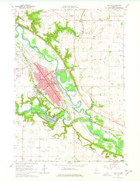
1953 New Ulm
Brown County, MN
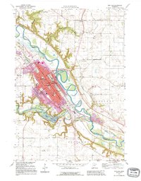
1957 New Ulm
Brown County, MN

1958 New Ulm
Brown County, MN
1964 New Ulm
Brown County, MN

1967 New Ulm
Brown County, MN

1986 New Ulm
Brown County, MN

1991 New Ulm
Brown County, MN
1992 New Ulm
Brown County, MN
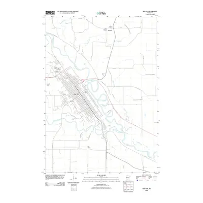
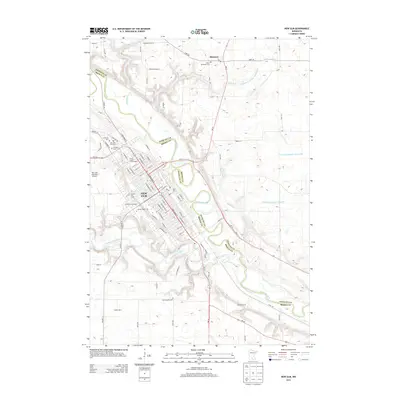
2010 New Ulm
Brown County, MN
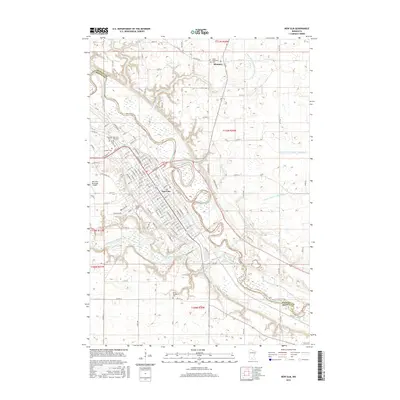
2013 New Ulm
Brown County, MN
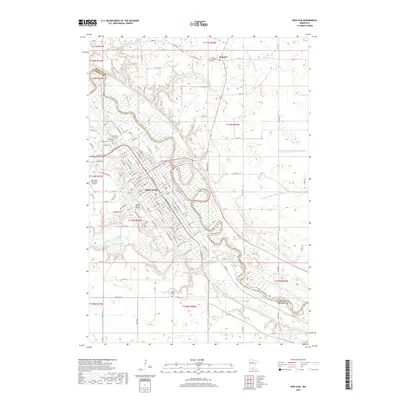
2016 New Ulm
Brown County, MN
2019 New Ulm
Brown County, MN
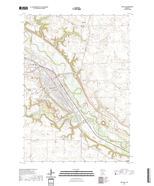
2022 New Ulm
Brown County, MN